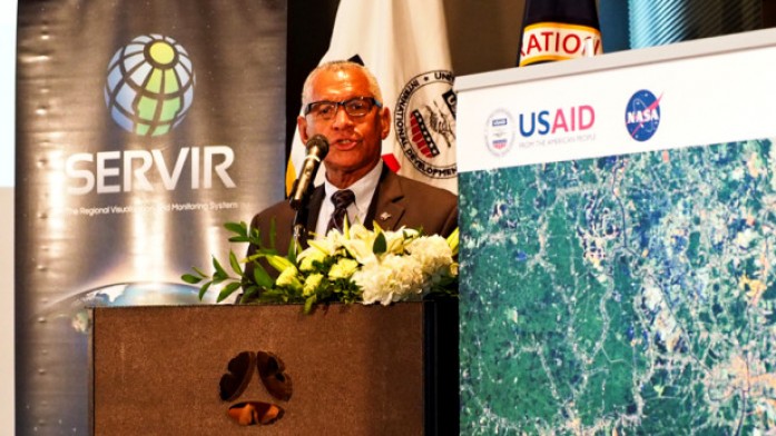
The launch pad for SERVIR, a joint development initiative of the United States Agency for International Development and National Aeronautics and Space Administration, lies in the jungle. Dan Irwin used an old GPS to do mapping work for Conservation International in Guatemala, until he ran into a NASA archaeologist who showed him the
insights that images from space could offer. For several years, he would pack a slide projector on a mule and go from village to village with this satellite imagery of deforestation, until he took a job at the Marshall Space Flight Center 17 years ago.
As the global development community mobilizes around accomplishing the Sustainable Development Goals by 2030, NASA has also set its sights on that decade, with its Journey to Mars aiming to get humans to the red planet in the 2030s. And as both organizations work towards monumental goals, the examples of — and opportunities for — collaboration between the space industry and the development sector are taking off. Read full story here


