Although the complex interactions between land use and transport are often acknowledged and appreciated, the state of practice is to fall back on purely transport and mobility-related metrics when evaluating infrastructure investment decisions.
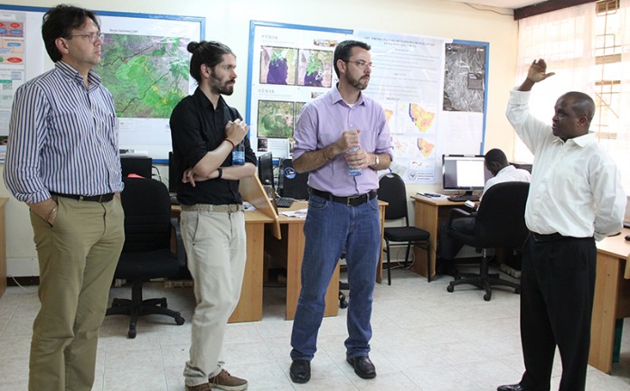
In this regard, Measuring Accessibility for Policy Evaluation (MAXess) project partners including the University of Pretoria, ETH Zurich, Technische Universität Berlin, and University of Nairobi visited RCMRD on 14th June, 2016. In this project, the aim is to rely on open and freely available data to ensure the use of the metric is duplicable everywhere, and especially beyond well-funded studies. As a decision support tool, the MAXess project is important in allowing decision makers to better evaluate how to spend the national budget in an inclusive manner, accounting for the economic and social difference of the population, and the transport mode variety. The resulting metrics will be availed through high resolution, open source maps that will allow decision and policy makers to essentially and easily access the data. MAXess is a collaborative research project supported by ERAfrica.


