 RCMRD and European Union (EU) Joint Research Centre (JRC) in collaboration with the IGAD Climate Prediction and Applications Centre (ICPAC), Kenya Forest Service (KFS), Kenya Forest Research Institute (KEFRI) and the Water
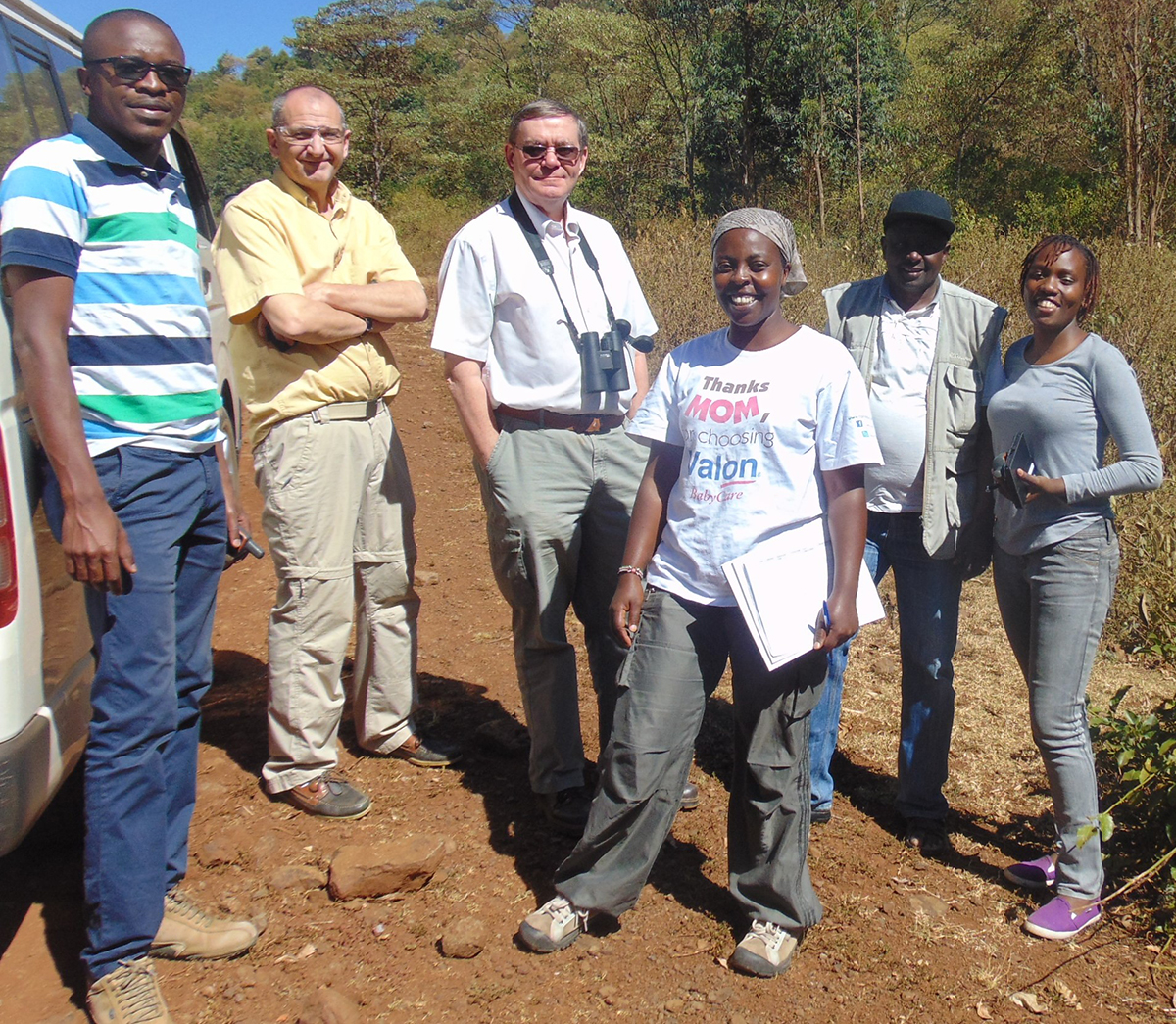
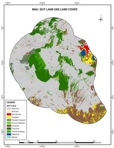
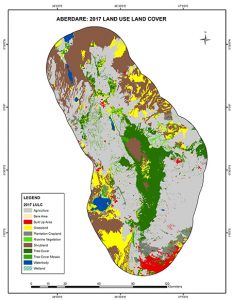
Towers project organized a five-day field trip to collect data for use in conjunction with the images Sentinel 2 MSI sensor launched by the European Space Agency (ESA) in 2015. Since the arrival of Sentinel 2, JRC and RCMRD have worked closely to allow institutions in Africa access new satellite data.


The field campaign proposed by RCMRD, was prepared by JRC and RCMRD in conjunction with staff from KFS, the Water Towers Agency and ICPAC. A set of target sample points of varying land cover types were prepared on the basis of Sentinel 2 images. These were then verified in the field and data on land cover type, vegetation cover and height collected and entered into a georeferenced database.
The project team consisted of Dr. Hugh (JRC), Muyambi Fortunate (MESA/RCMRD), Faith Mukabi (KFS), Rose Waswa (RCMRD), Pauline Ogola (RCMRD), Simon Odawa (KWTA) and Dr Vernon Copeland (MESA/ICPAC).
Information for this article is provided by Muyambi Fortunate (MESA/RCMRD)


