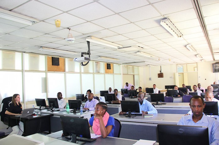
The Regional Centre for Mapping of Resources for Development (RCMRD) is holding a one-week training on mapping open water bodies and their color properties from February 15-19, 2016. The training is being conducted by Dr. Erika Podest from the Jet Propulsion Lab (JPL), the National Aeronautics and Space Administration (NASA).
The objective of the course is to provide hands-on training on mapping open water bodies and their color properties using satellite imagery (Landsat). Participants include individuals who have some background knowledge of Remote Sensing and related software including scientists, students, and end users interested in mapping open water bodies and their color properties. Prior to the start of the training, Dr. Podest held a brief discussion with representatives from RCMRD led by Dr. Hussein Farah, Director General on areas of collaboration between NASA and RCMRD.
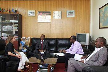
Dr. Podest meeting with RCMRD representatives led by Dr. Hussein Farah, Director General.
Dr. Podest is a scientist with the Water and Carbon Cycles Group in JPL’s Earth Science Division and Visiting Associate Researcher in the Joint Institute for Regional Earth System Science and Engineering (JIFRESSE) at the University of California, Los Angeles (UCLA).


