![]()
![]()
In 2014, the National Aeronautics and Space Administration (NASA) released datasets from the Shuttle Radar Topography Mission (SRTM), known as SRTM-2. The datasets are readily accessible to the public and at no cost. In addition, the datasets are very important in dealing with serious issues affecting the earth, for example, extreme events

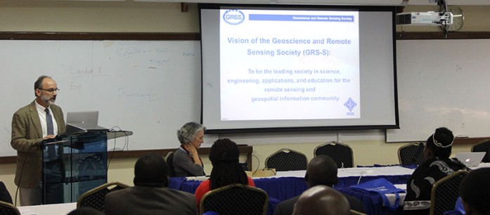
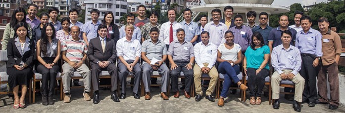
The Regional Centre for Mapping of Resources for Development (RCMRD) in conjunction with the Institute of Electrical and Electronic Engineering (IEEE) and Geoscience Remote Sensing Society (GRSS) conducted training workshops on Remote Sensing Technology and Applications at RCMRD and Kenyatta University between 26th and 30th
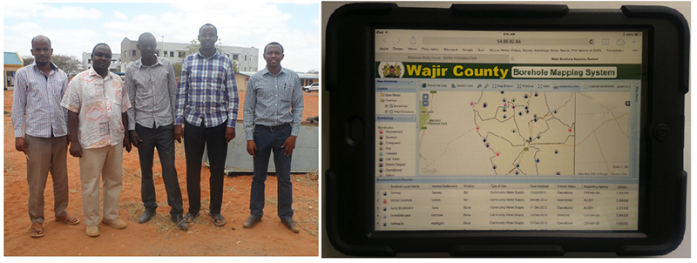
In the past one month, RCMRD has been building the capacity of Wajir County in Kenya on how to use a GIS based Water Sources Application designed by SERVIR E&SA. The one-month long training covered three key topics, including (one) GIS skills for data collection, processing, analysis and reporting; Information Technology skills for
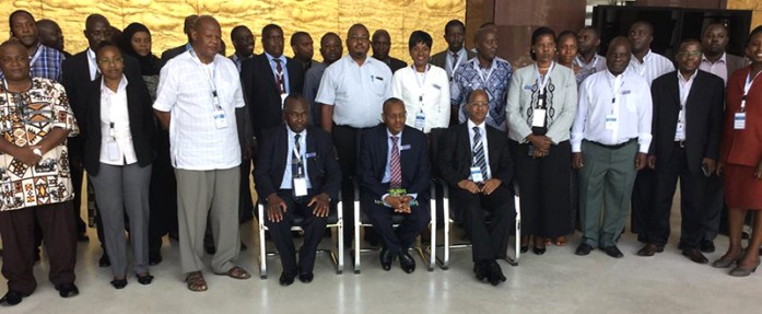
RCMRD in conjunction with Tanzania’s Ministry of Lands, Housing and Human Settlements Development organized a one-day National Spatial Data Infrastructure (NSDI)
Roysambu, Kasarani
Nairobi, Kenya
+254 020 2680748 / 2680722
+254 723 786161 / +254 735 981098
P.O. Box 632-00618 Nairobi, Kenya
rcmrd@rcmrd.org


