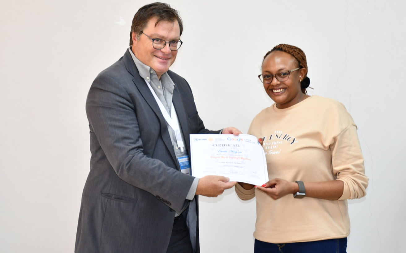
One of the participants receiving a certificate on completion of the course
The 5-day Training Workshop on Mapping and monitoring land cover with dynamic world was a resounding success, characterized by intensive knowledge sharing and exploration, all expertly led by the renowned Ujaval Gandhi from Spatial Thoughts. This workshop was made possible through a collaborative partnership with esteemed organizations such as the Land and Carbon Lab of the World Research Institute, represented by Fred Stolle, Elise Mazur, and Alex Kovac, and Google. One of the standout features of this event was the diverse range of participants it attracted, representing various regions and backgrounds, which significantly enriched the quality of discussions and the depth of knowledge exchanged.
Dynamic World helps monitor the planet in near-real-time, classifying high resolution imagery (Sentinel-2, 10 meter) and allowing users to map land cover and changes as they happen and build custom maps. The data set also allows users to quickly analyze data to inform decisions related to land cover such as: conversion and conservation of natural ecosystems, responsible resource extraction, changes in agricultural intensity and food security, climate-related changes to landscapes.
The focal point of this workshop was the utilization of Dynamic World, an invaluable tool for near-real-time monitoring of our planet's ever-changing landscapes. Throughout this workshop, participants will learnt how to use Google Earth Engine to access and analyze geospatial data and customize the Dynamic World data set. The interactive trainings ranged from time-series analyses to change detection and custom land cover classification.
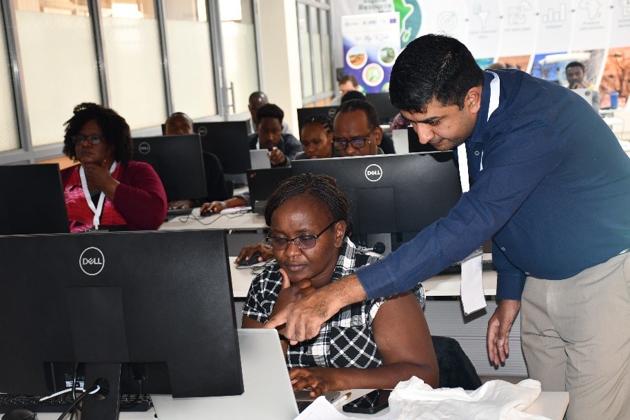
Figure 1: The lead trainer Ujaval Gandhi from Spatial Thoughts guiding Eunice Wangui from RCMRD
A defining element of this workshop was the in-depth exploration of machine learning and supervised classification techniques. These advanced methodologies equip remote sensing professionals with the ability to discern objects and land cover types from Earth Observation data, even in the presence of complex noise. Participants emerged from the workshop with a profound understanding of the key distinctions between supervised and unsupervised learning, emphasizing the incredible potential that machine learning holds in the realm of remote sensing applications.
One of the workshop's pivotal moments occurred when the trainees delved into the Random Forest algorithm. This ingenious ensemble learning approach constructs multiple decision trees, ensuring both robustness and accuracy in land cover classification. Workshop attendees not only acquired the skills to train and validate these models but also learned how to interpret confusion matrices to assess the quality of classification results.
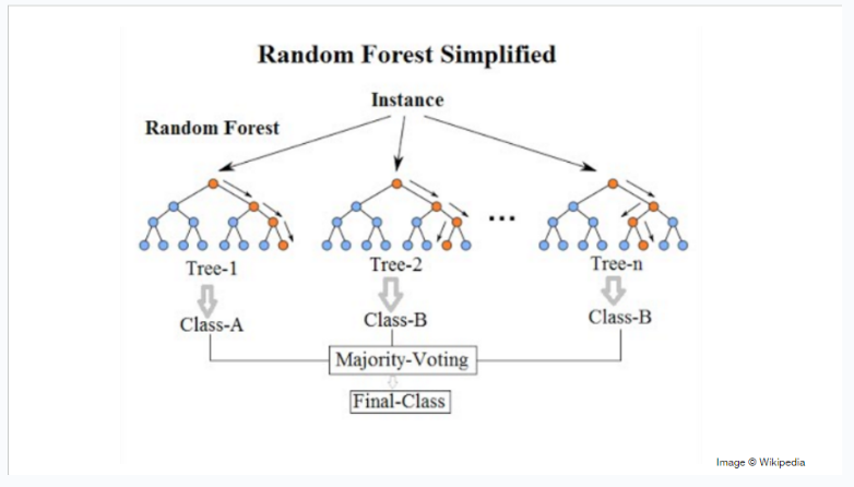
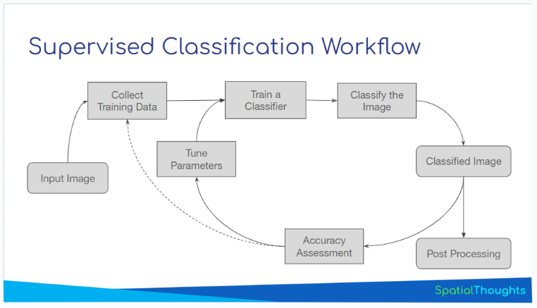
Figure 2: Workflows random forest and supervised classifications
Participants also ventured into creating Earth Engine Apps, employing an interactive approach for visualizing and disseminating geospatial data. These apps were meticulously crafted, featuring user-friendly widgets such as dropdown menus and buttons, ensuring a smooth and dynamic exploration of data. The Earth Engine UI API, a formidable toolset for constructing dynamic interfaces, empowers users to craft immersive and informative experiences.
During the workshop, participants were divided into groups and tasked with conceptualizing and developing projects that put their newly acquired knowledge into action. These projects ranged from creating local land cover classification maps to building interactive apps for displaying changes in specific regions of interest. Additionally, participants wrote scripts to actively monitor land cover changes, highlighting the practical applications of the workshop's teachings.
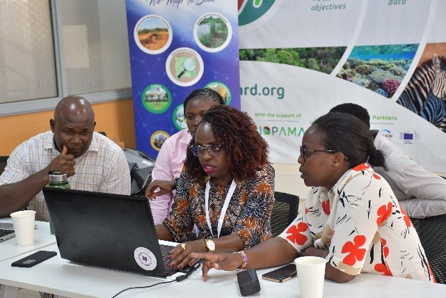
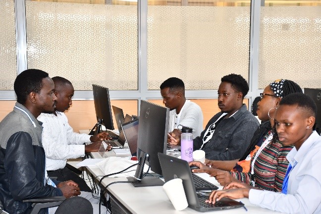
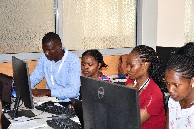
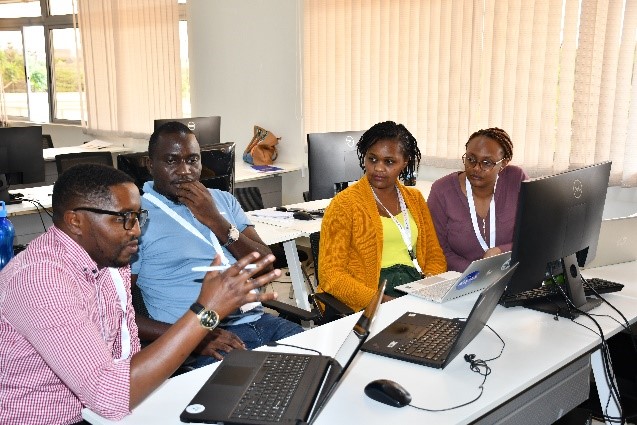
Figure 3: Sets of different groups formulating projects
In total, seven projects were undertaken, each driven by enthusiastic teams of participants. They were Change in Surface Water Extent of Lake Nakuru, Crop Classification and Phenology, Quantify Forest loss, Urban Sprawl in Nairobi, Quantify Vegetation loss caused by Desert Locusts, Crop Type Monitoring and Effects of Restoration Efforts in Maasai Mau Forest. The lead project, was Effects of Restoration Efforts in Maasai Mau Forest, whose team was led by Caroline Wangeci, and was presented by Ujaval and Elise at Google’s annual Geo for Good summit. Their collective efforts showcased the workshop's aim of translating knowledge into impactful environmental actions.
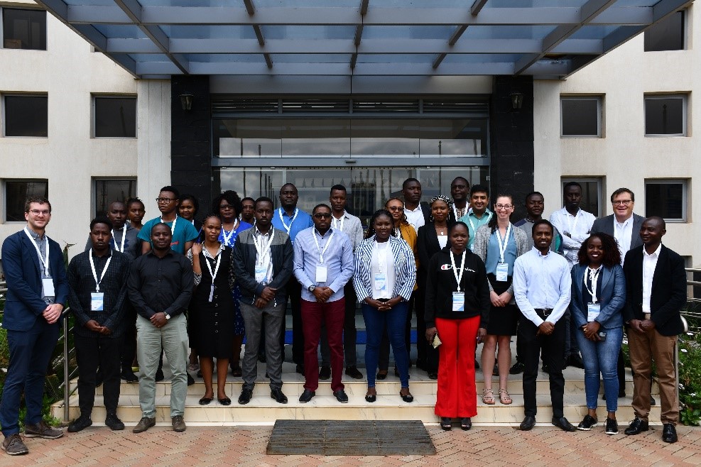
Figure 4: Group photo of the participants at RCMRD Complex


