
Rangeland Assessment and Monitoring Service
Development problem
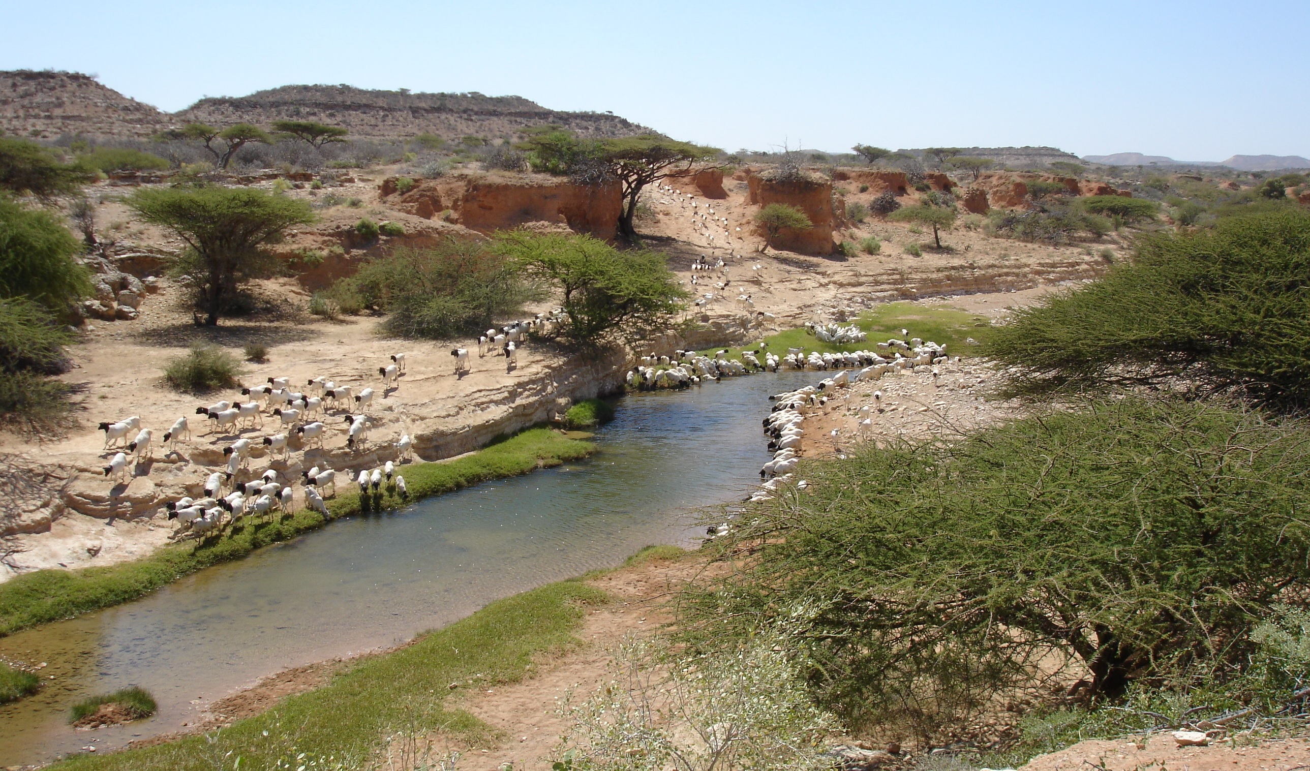
The Kenyan rangelands through livestock production, contribute to over 12% of the 40% Agricultural GDP with further contribution through the tourism sector. They cover over 70% of the country and are home to both wildlife and pastoral communities. With dependence on rain-fed pastures, better management of the rangelands require near real time information on available resources. While information on vegetation conditions is important, other critical resources such as location of water, extent of unpalatable foliage (invasive species) and other ancillary information is required for a comprehensive understanding of the condition of the rangelands. With a changing climate, an assessment of the vegetation productivity is critical in identifying degradation hotspots, but also monitoring areas where re-greening due to rehabilitation efforts has occurred.
In collaboration and continuous engagement with stakeholders, including Northern Rangelands Trust (NRT) and Laikipia Wildlife Forum (LWF), Baseline land degradation maps were developed and field validation data was collected, and subsequently, indicators of vegetation productivity appropriate in assessing both vegetation degradation and monitoring restoration efforts. All these outputs are available through an online tool at http://tools.rcmrd.org/rangelands
Stakeholders
In addition to NRT and LWF, other users of the service are National Drought Management Authority (NDMA), Kenya Wildlife Service, Mpala Research Centre (MRC), CETRAD, ILRI, PREG partners, County Governments, grazing coordinators, conservancy managers, local conservation groups, ranch owners and managers and local communities.
Service Objective
The main objective of the service is to facilitate near real time assessment and monitoring of rangeland resources by developing a web based tool that will aggregate key indicators for rangeland productivity with ancillary data and allow for integration of user selected indicators to produce maps at different administrative and conservancy boundaries. The service also has a surface water maps component developed using GEE as an input to the web based tool.
More information on this service can be found here: https://www.servirglobal.net/ServiceCatalogue/details/5c054209935208d9a25c1272


