RCMRD in conjunction with AGRA recently conducted a training for staff from the Ministry of Food and Agriculture in Ghana. Under the project: Strengthening the Capacity of Ministries of Agriculture in monitoring downstream investments using Geo-information technologies for informed investment decisions and policies, the training had 30 participants from the Ministry of Agriculture. The training on Introduction to GIS and Basic Analysis was held between January 27 to 31 2020, took place at Hill Place Hotel, Accra, Ghana.
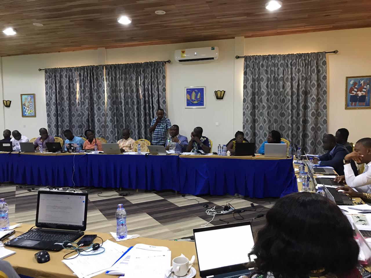
The objective of the training was to provide basic skills in GIS concepts, data collection, analysis and management using existing agriculture data for informed decisions. Making decisions based on geography is basic to human thinking. Where shall we go, what will it be like, and what shall we do when we get there are applied to the simple event of going to the shop or to the major event of launching a new technology for harvesting. By understanding geography and people's relationship to location, we can make informed decisions about the way we live on our planet. A geographic information system (GIS) is a technological tool for comprehending geography and making intelligent decisions. GIS organizes geographic data so that a person reading a map can select data necessary for a specific project or task.
The benefits of using GIS in agricultural government include the following:Work efficiency, Revenue generation and cost recovery, Improved accuracy, Task automation, Access to government data, Time and cost savings, Decision-making support, Resource management, Enhancement of public participation and Collaboration between departments or ministries.
Availability of quality data and information are critical to facilitate evidence- based policy design, monitoring and evaluation to ensure effective achievement of intended Agriculture sector development outcomes. However, data collection and linkages between the policy making organs and the downstream investment along the production chain are often weak or non-existent.
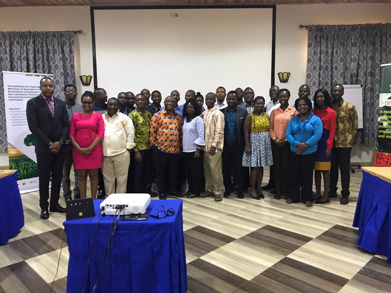
To contribute towards addressing these data related challenges, the Alliance for a Green Revolution in Africa (AGRA) and the Regional Centre for Mapping of Resources for Development (RCMRD) implemented this project with a goal of building the capacity of Ministry of Agriculture to monitor agricultural value chain investments using Geographic Information System (GIS).


