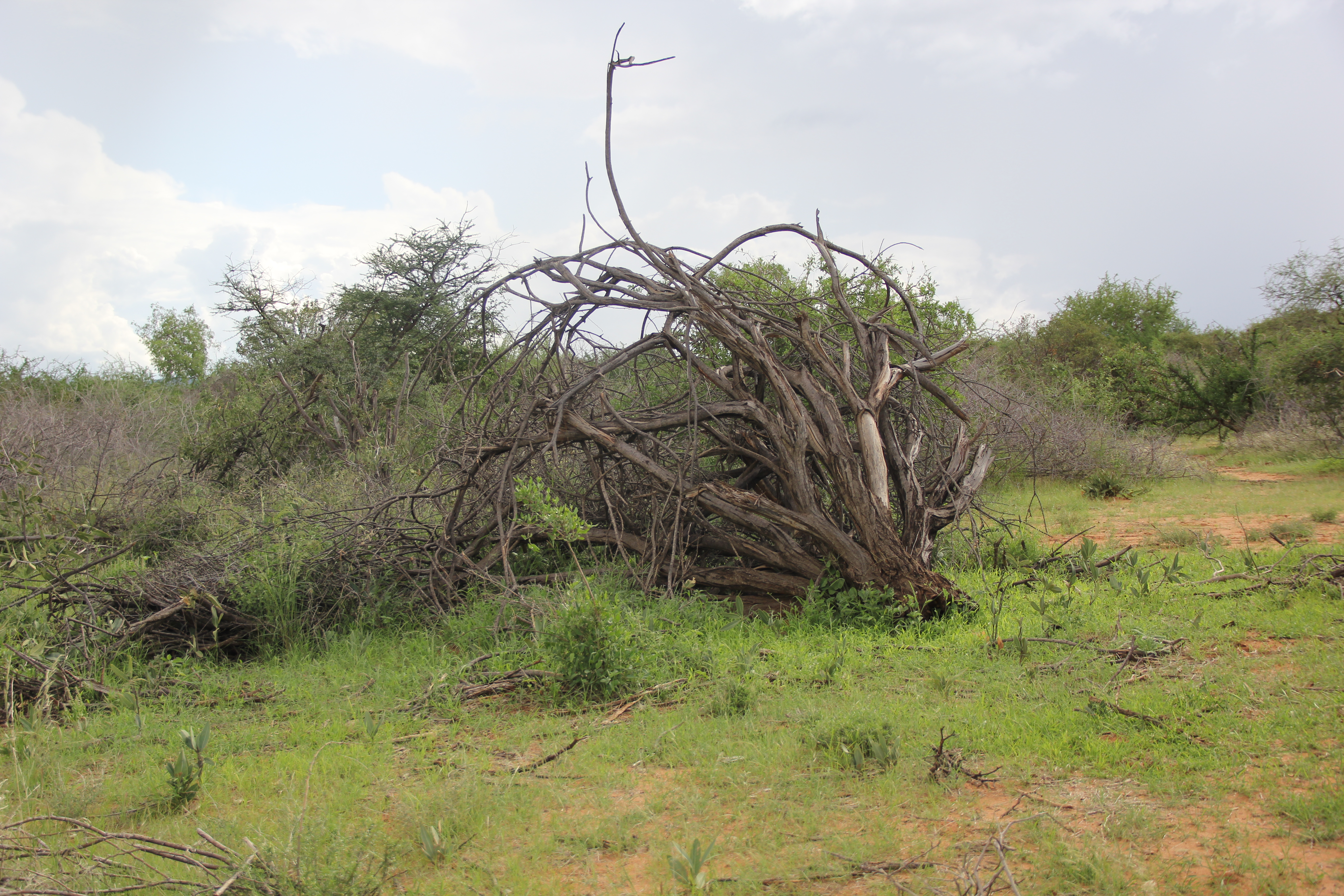
Land and resource loss, and change and fragmentation in the rangelands have increased in recent years due to varied influences, including a lack of recognition of land and resource-ownership rights as well as poor land-use planning and privatization processes.
These influences have had significant negative impacts on millions of rangeland users, including pastoralists and hunter-gatherers who depend upon rangelands for their food and livelihood security, as well as affecting national economies, peace and security.
As a response to the need from stakeholders for a dynamic rangeland monitoring tool, RCMRD based SERVIR-Eastern and Southern Africa project has been developing the Rangelands Decision Support Tool. The main goal of developing it is to facilitate near real time assessment and monitoring of rangeland resources by developing a web based tool that aggregates key indicators to rangeland productivity with ancillary data and to allow for integration of user selected indicators to produce maps at different administrative and conservancy boundaries.
The Rangelands Decision Support Tool allows specific user groups to plug in program specific data that can be used to provide interpretations of rangeland conditions. The data includes vegetation greenness/proxies to productivity at multi temporal scales (10 day, monthly,seasonal).
The greenness indices include Normalized Difference Vegetation Index (NDVI) maximums, averages, Standard anomalies (Z-score) and absolute anomalies (difference from long term mean) and a Vegetation condition Index (VCI). The tool provides users with explanations that direct them in selecting the right indicators, preferred boundary (county/conservancy/grazing block), and allows users to select overlay data such as invasive species, towns, water sources and produce PDF map for assessment and monitoring.
Further, surface water maps which are a critical driver in rangelands management are being developed as an addition to the tool. In view of the above, RCMRD/SERVIR E&SA conducted a four day capacity building workshop to train selected participants on application of the tool. After the training some participants said they had a clear understanding on the use of the tool while others said they could demonstrate how to link the information to their monitoring plans. Participants were all required to have basic GIS skills and computer literacy and were actively involved in rangeland monitoring.
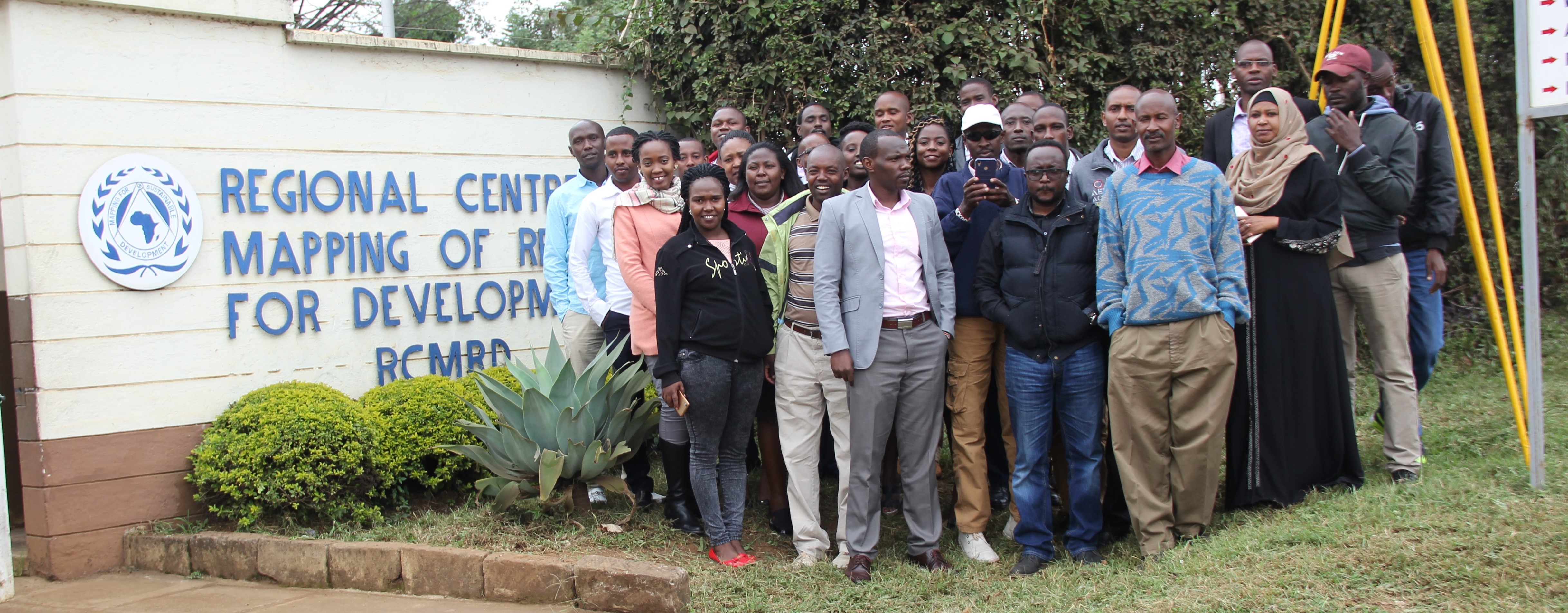 They were trained on how to use the tool and the indicators provided to interpret rangeland conditions as an input to their assessment and monitoring plans. After the training, participants are expected to create awareness on Rangelands Decision support tool and its application for decision making.


