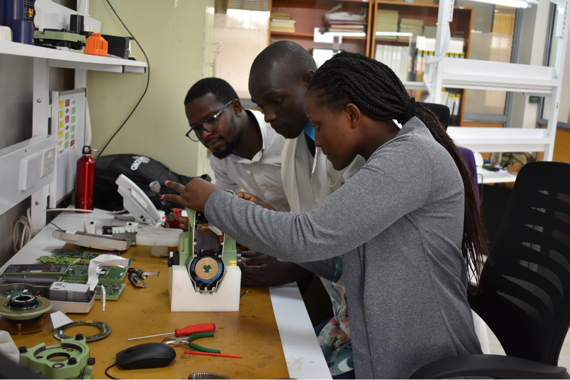
Our Engineering Department offers a wide range of technical service on Geosystems Equipment. We provide quality services such as calibration services, repair services, certification services, upgrading services and training services.
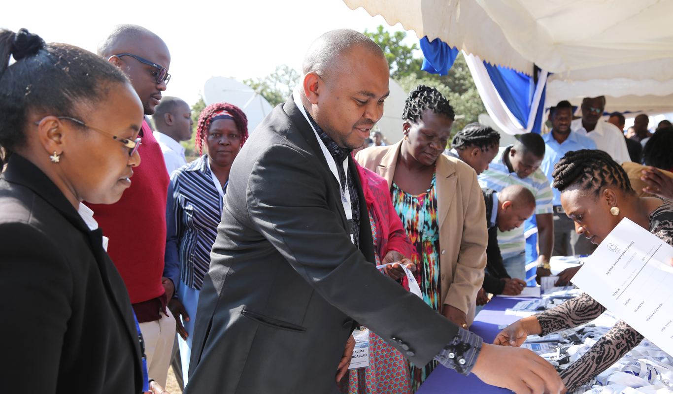
We offer expertise in PROJECT IMPLEMENTATION and ADVISORY SERVICES that are oriented towards sustainable applications in natural resource management, infrastructure and environmental management utilizing Geo-Information Technologies.
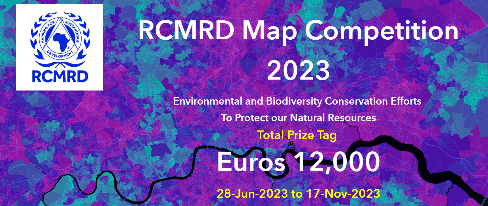
We wish to announce RCMRD Map Competition 2023 Edition that will run from 28-June-2023 to 17-Nov-2023. The theme of the competition is "Environmental and Biodiversity Conservation Efforts to Protect our Natural Resources". The total prize tag is Euros: 12,000
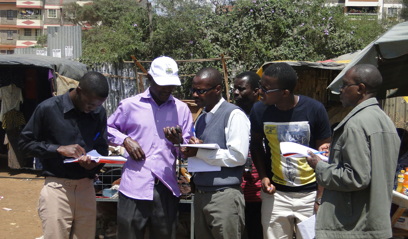
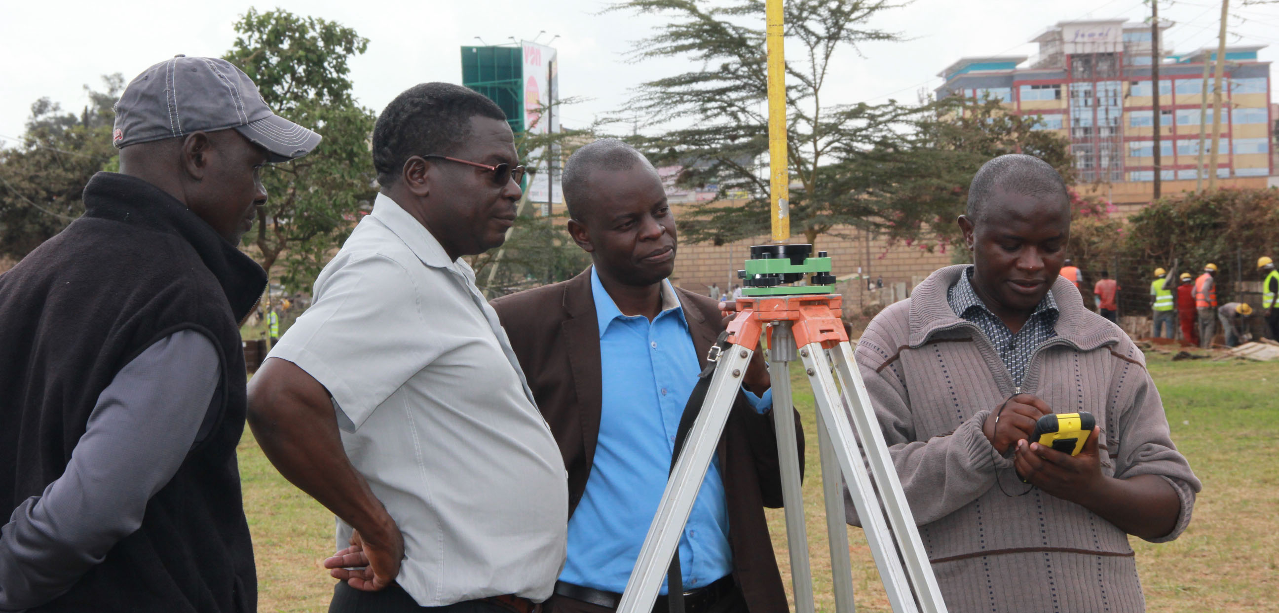
We offer SURVEYING AND MAPPING expertise in Topographical surveying, Engineering surveying, Hydrographic surveying, Cadastral surveying, Control surveying and Training in Land survey related short courses such as GNSS Training, Total station training, leveling among others.
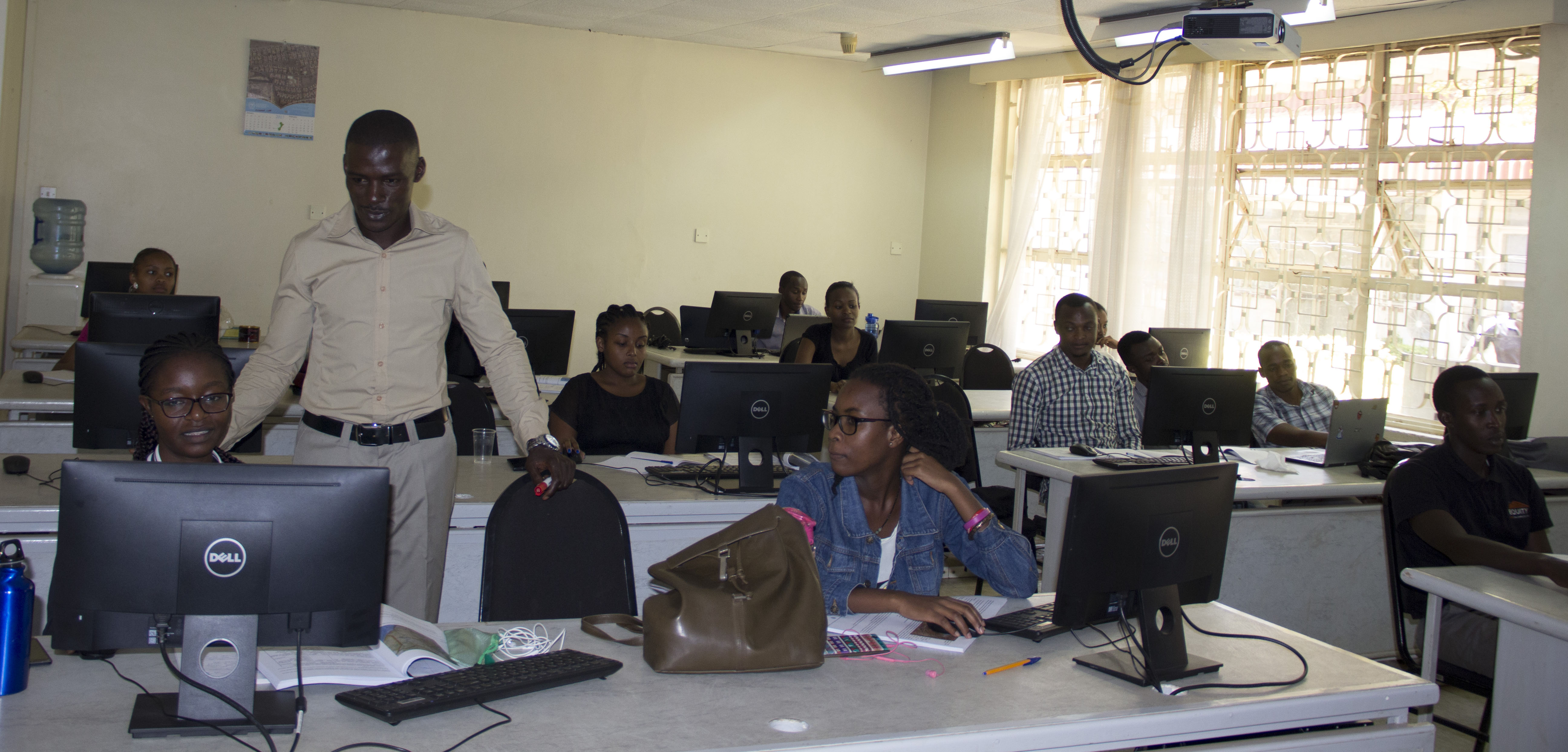
We offerPROFESSIONAL SHORT COURSES in areas such as Remote Sensing & Satellite Image Processing/Interpretation, Geographic Information Systems (GIS), Global Positioning/ Navigation Systems (GPS), Information Technology, Surveying etc.
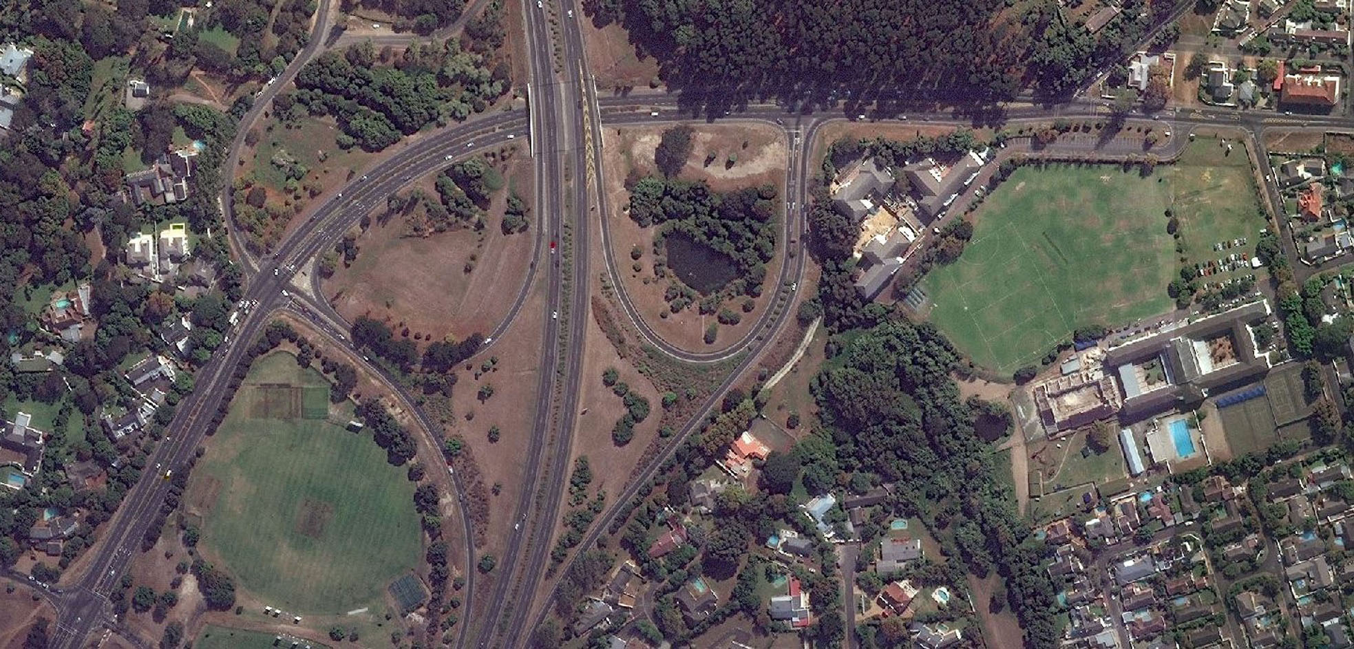
We offer SATELLITE IMAGERY DATA PRODUCTS i.e. High Resolution Satellite Imagery data with ground sampling rate below 5 meters, Medium Resolution Satellite Imagery data with ground sampling rate between 5 – 250 meters and Low Resolution Satellite Imagery data with ground sampling rate above 250 meters
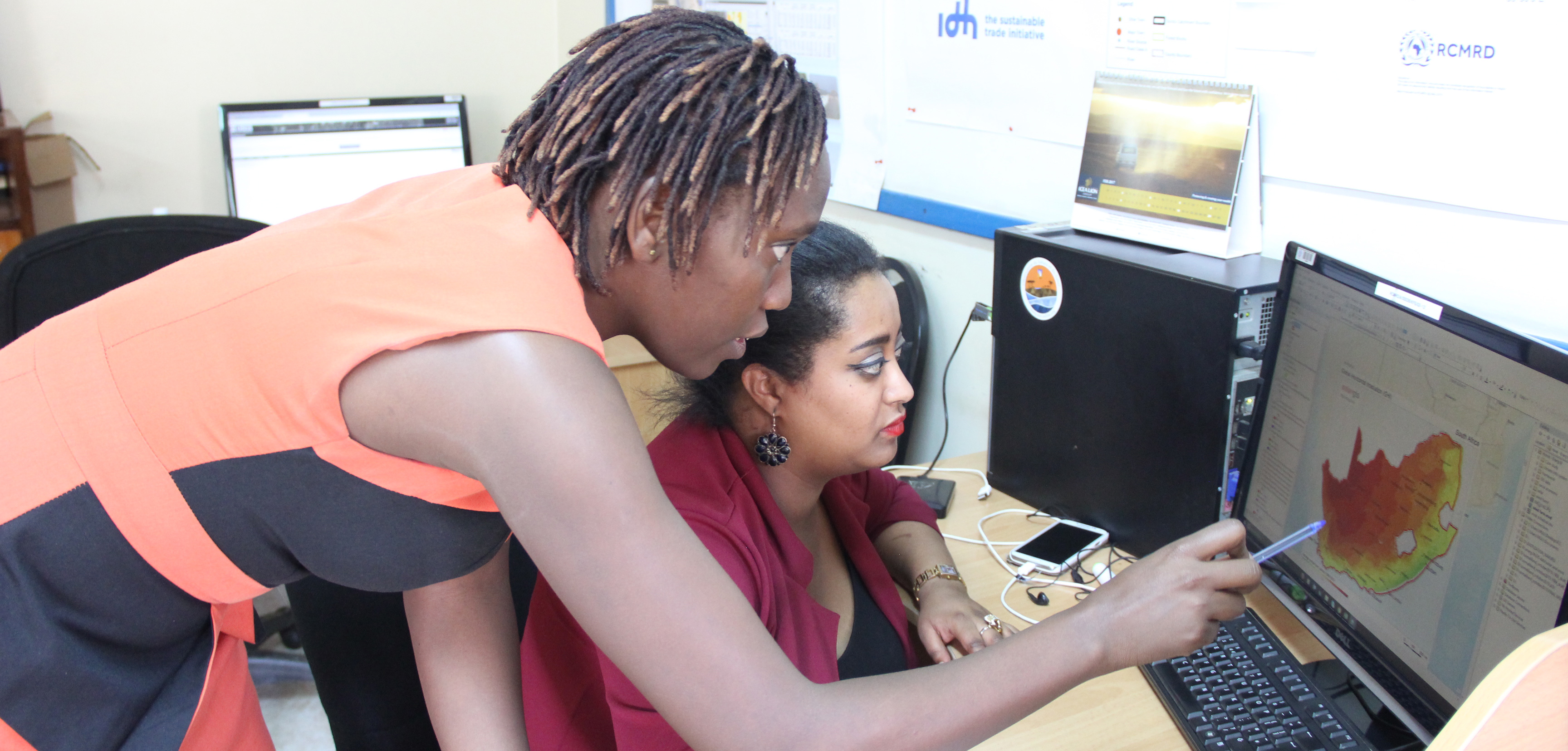
For users to access the DATASETS AND MAPS that have been developed and shared online, we have platforms such as apps portal, geoportal, open data site that are useful for accessing these spatial based products and services
To promote sustainable development through generation, application and dissemination of Geo-Information and allied Information Communication Technology (ICT) services and products in the Member States and beyond.
To be a premier Centre of Excellence in the provision of Geo-Information services.
Our Technical Diploma courses are recognized by local and international universities, professional bodies and employers. We train for KNEC certification using current technology and latest equipment. We also equip our graduates with the latest tools and software in Geospatial technology.
These courses provide a starting point for those who didn’t qualify for admission into Diploma level in KCSE or those who have been in the field but have no formal qualifications. Similarly, those who are professionals in other fields but want an additional qualification in a specific field and don’t want...
The Professional courses are for those who already have previous qualifications or are employed and wish to boost their careers, are seeking employment after graduating from university or tertiary colleges and wish to acquire hands on new technology skills to improve their...


 user training for Malawi Ministry of Lands officers")


