Establishment and applications of Continuously Operating Reference Stations (CORS) and Real Time Global Navigation Satellite Systems (GNSS) Geodetic Networks (RTGNs) have greatly increased in the last few years. However, in Africa there are a few CORS and RTGNs that may enhance the application and use of GNSS data.
Furthermore, there is no uniform geodetic reference system in Africa, making cross border maps not compatible, and sharing of map information difficult. To overcome these difficulties, the African Geodetic Reference Frame (AFREF) project was initiated by the United Nations for Economic Commission for Africa (UNECA) in 2005. When fully implemented, AFREF will consist of a network of CORS such that a user anywhere in Africa would have free access to the generated data. Consequently, RCMRD is conducting a two-week Establishment of Modern Geodetic Reference GNSS Data Processing training workshop from 5-17th September, 2016. The course is being attended by Land Surveyors, Geodesists, Geologists, Meteorologists, Geophysicists, Engineers, and Earth Research Scientists from RCMRD member States and beyond.
The main objective of the course is to build the required technical capacity to implement modern Geodetic Reference Frame in RCMRD member States. It is designed to provide practical skills in setting up Continuous Operating GNSS Reference Stations, processing of GNSS data and operationalization of AFREF project. The topics to be covered will include instrumental set up, observation requirements and planning, geodetic network design, and data processing methods.
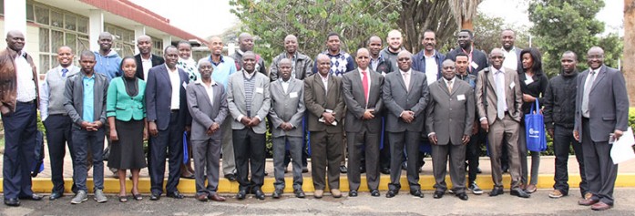
The workshop was opened by Mr. Cesare Mbaria, Director of Survey, Ministry of Land and Physical Planning, Kenya, who was the chief guest. During his speech, Mr. Mbaria said, “It gives me great pleasure to join you this morning to officially open this training workshop on AFREF and GNSS Data Processing. I am informed that the course is attended by Technical officers of National Mapping Organizations and Universities from RCMRD Member States namely Botswana, Ethiopia, Kenya, Malawi, Mauritius, Namibia, Swaziland, Tanzania, Uganda, Zambia, Zimbabwe, Lesotho, Rwanda, South Sudan and South Africa.” He highlighted the importance of the training workshop and the AFREF initiative to the socio-economic development and well being of the African people, asserting, “Effective and efficient decision making, planning, development and management our resources require fundamental map information collected and maintained in a systematic approach covering the entire region. This can only be achieved by the use of a unified geodetic reference frame.”


