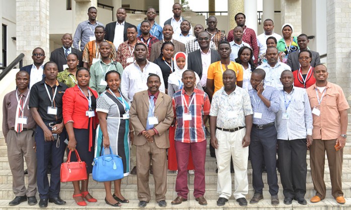
RCMRD/SERVIR E&SA attended the third Geospatial Forum on 12th August, 2016 at Dar es Salaam University (The Institute of Resource Assessment), Tanzania. The main objective of the forum was to create a discussion platform to help improve the teaching of GIS, Remote Sensing and Photogrammetry. The forum provided unique
opportunities for higher learning institutions to appreciate the ever changing geospatial technology and how to take advantage of the latest developments to improve integrated learning research and teaching. RCMRD/ SERVIR E&SA did a presentation on connecting space to earth, highlighting its main goal of improving environmental management and resilience to climate change and various objectives (to improve analysts and decision makers capacity, to improve awareness and access to geospatial information, and finally to increase provision of user tailored tools). The team also emphasized the necessity of bringing on board various universities to develop research partnerships with the aim of providing a link between products developed and the development problem. Consequently, creating relevant information for decision making purposes.


