Current advances in space and Geo-ICT technologies offer great opportunities to the entire geo-information community. Some examples of these include use of global datasets that provide us with the opportunity to build and share fundamental datasets at cheaper rates; cloud computing useful especially for the storage of high volume
geospatial datasets; UAV/drone technology that is emerging as a new exploration medium; Volunteered Geographic Information (VGI)/Community mapping for continuous updating of some datasets such as roads; and use of Free and Open Source Software (FOSS), especially for metadata catalogue and clearinghouse implementation etc. Land administration professionals and practitioners can leverage on these new space and Geo-ICT technologies to promote inclusive land tenure, pragmatic land valuation and taxation and rational land use and land development practices. Realization of all these desirable land administration procedures is important if we are to achieve efficient land markets and effective land use management, factors that are critical for sustainable development pursuant to Agenda 2030.
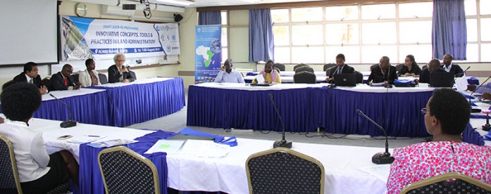
Consequently, RCMRD in collaboration with Global Land Tool Network (GLTN) of UN-HABITAT has organized a two-week Innovative Concepts, Tools and Practices in Land Administration training workshop from 1-12th August, 2016 at its premises in Nairobi, Kenya. The training participants are drawn from Botswana, Ethiopia, Tanzania, Kenya, Lesotho, Malawi, Namibia, Rwanda, Swaziland, Uganda, Zambia, Zimbabwe and Mozambique. The purpose of the training is to bring together land officials and technical personnel from RCMRD member States and experts from a range of relevant disciplines, for joint learning on innovative and effective land administration tools and practices. The main objective of the training is to sensitize participants about land administration and develop their capacity to address issues of corruption and enhance transparency in the land sector. See photos here


