RCMRD/SERVIR-Eastern and Southern Africa held stakeholders’ and consultations workshops from 23rd– 31st May, 2016 in Uganda, Rwanda and Tanzania respectively. The workshops aimed at assessing the needs and gaps in using geospatial tools by various stakeholders including government agencies in the Eastern and Southern African region. The major objective of the workshops was to engage with stakeholders from various institutions, understand the projects they are implementing and determine
climate-related problems, the needs and gaps in form of geospatial data availability/ acquisition, sharing challenges, geospatial tools used, and capacity building in form of training required in developing and using the tools. SERVIR strives to help developing countries improve environmental management and resilience to climate change by strengthening the capacity of governments and other key stakeholders to incorporate Earth Observation information and geospatial technologies into development decision-making.
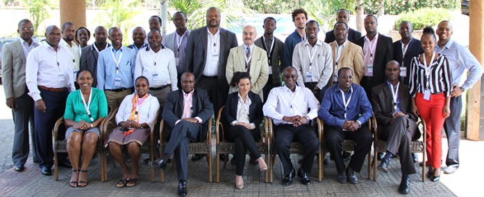
Participants at the stakeholders’ and consultations workshop in Uganda.
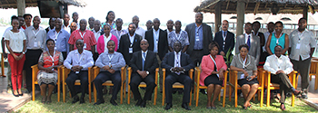
Participants at the stakeholders’ and consultations workshop in Tanzania.
See photos here


