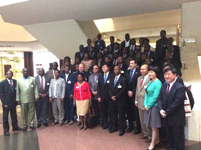
In preparation for the United Nations Committee of Experts on Global Geospatial Information Management (UN-GGIM) commencing on 20th April, 2016 in Addis Ababa, Ethiopia, the Regional Centre for Mapping of Resources for Development (RCMRD) in partnership with the National Geomatics Center of China (NGCC) hosted a two-day
pre-conference workshop for RCMRD Mapping Agencies and other African stakeholders on Advanced Land Cover Information Technology and Applications. In the month of September, 2015, the United Nations General Assembly endorsed “Transforming Our World: The 2030 Agenda for Sustainable Development” with 17 Sustainable Development Goals (SDGs) and associated 17 targets. NGCC has launched GlobeLand30, the world’s first 30m global land cover data product in response to the SDGs and their indicators. Discussions at the pre-conference workshop focused on the use of the GlobeLand30 and localization to in country scenarios as well as support that could be extended to RCMRD to build capacity in member States on Land Use Land Cover.
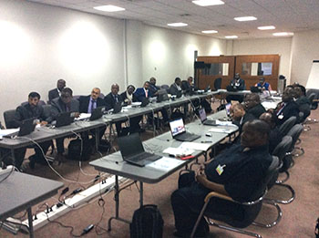
Participants paying attention to a presentation.
RCMRD is also an active supporter of AfriGEO through the stewardship of the Africa Land Use and Land Cover Working Group. Dr. Hussein Farah, RCMRD’s Director General made a presentation on RCMRD initiatives with regard to developing capacities in member States. Phoebe Oduor, Team Leader made a presentation on Land Cover Change Mapping Program for System Land Based Emissions Estimation.


