![]()
![]()
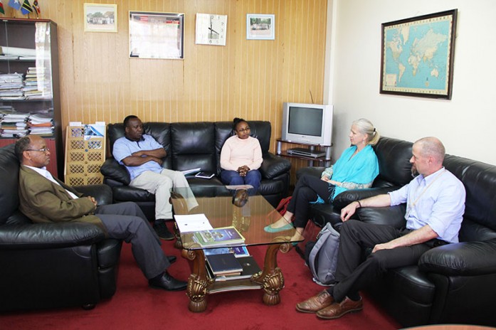
The management of the Regional Centre for Mapping of Resources for Development (RCMRD) held a closed door meeting with Athina Trakas, the Director European and Africa Services, the Open Geospatial Consortium (OGC) and Arnulf Christl, Spatial Systems Architect, former president and founder, the Open Source Geospatial Foundation (OSGeo) on 6th November, 2015. The aim of the meeting was to get more information on OGC and OSGeo and their related activities. OGC is a member of OSGeo and OSGeo is a member of OGC. OGC is a standards body dealing with geospatial data with 520 members, while OSGeo is a voluntary membership project with a mission to support the collaborative development of open source geospatial software, and promote its widespread use. Also, RCMRD was a member of OGC.

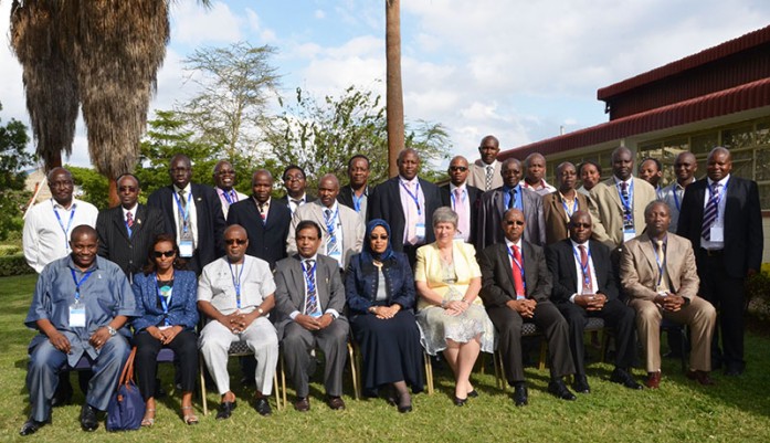
The Regional Centre for Mapping of Resources for Development (RCMRD) is holding the 49th meeting of the Technical Committee at its premises in Nairobi, Kenya. The meeting is being attended by representatives from RCMRD member States among other experts. The 49th meeting of the Technical Committee was officially opened by Ms. Mariamu El Maawy, the Principal Secretary Ministry of Land, Housing and Urban Development, Kenya.
The Regional Centre for Mapping of Resources for Development (RCMRD) held the 49th meeting of the Governing Council at its premises in Nairobi, Kenya. The 49th meeting of the Governing Council was attended by delegates from RCMRD member States among other experts. The meeting was opened by Hon. Dr. Fred Matiang’i, the Cabinet Secretary, Ministry of Information, Communications and Technology (ICT) in the government of Kenya.
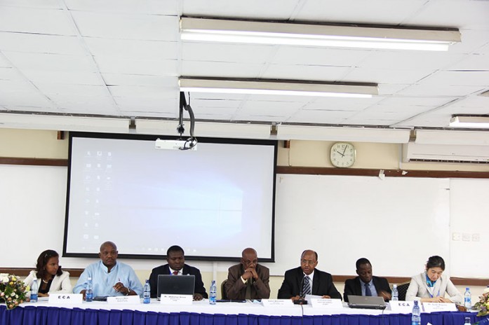
The Regional Centre for Mapping of Resources for Development (RCMRD) is holding the first meeting of the Global Geospatial Information Management (GGIM). The three-day meeting has attracted over 30 participants including heads of national institutions in charge of mapping activities in African countries and in the geospatial industry, experts from academia, research institutions, and the private sector, representatives of sub-regional and regional organizations, partners and other stakeholders, producers and users of geospatial information.
Roysambu, Kasarani
Nairobi, Kenya
+254 020 2680748 / 2680722
+254 723 786161 / +254 735 981098
P.O. Box 632-00618 Nairobi, Kenya
rcmrd@rcmrd.org


