On March 19, 2021 RCMRD was honored to host the Cabinet Secretary in the Ministry of Lands and Physical Planning, Kenya, Hon. Farida Karoney. The CS was joined by Food Agriculture Organization (FAO) Representative to Kenya Ms. Carla Mucavi, and Lands Governance Program Manager Husna Mbarak during the closure of a one-week training, where 134 staff from the Ministry of Lands received certificates on principles of Geographic Information System (GIS) using QGIS.
From March 8 to 12, RCMRD conducted the first training for 150 members of staff from the Ministry of Lands and Physical Planning, while the second group were trained between March 15 and 19, 2021. This training which was funded by FAO as part of the Ministry’s efforts to equip its staff with the skills and knowledge necessary for the successful implementation of the National Land Information Management System (NLIMS). The ministry is digitizing the NLIMS which will ease property registration process and the training on GIS using QGIS to the staff will ensure successful implementation of the system.
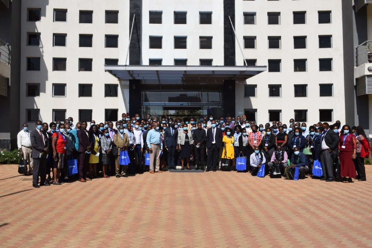
A group photo of members of staff from the Ministry of Lands and Physical Planning at RCMRD
Speaking during the closing ceremony, the CS stated that, "We can no longer afford to tell a customer that their land records are missing. That is why in our Strategic Plan 2020-2024, we have identified digitalization as our main area of focus." She added that the Ministry is about to unleash a transformative technology that the country needs now more than ever and digitization of land records will ensure accountability, transparency and efficiency in land administration. It’s a programme meant to help improve the quality of land management service offered to Kenyans.
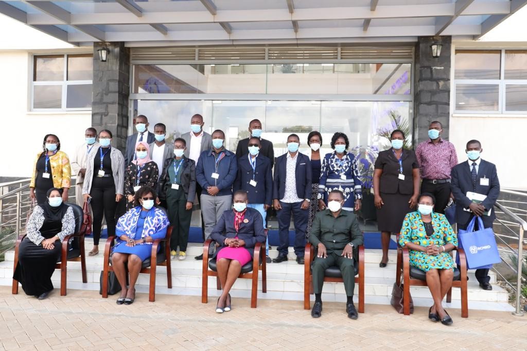
Cabinet Secretary Ministry of Lands and Physical Planning Hon. Farida Karoney after delivering her speech to the participants from her Ministry at RCMRD
The ministry is one of the focal points of RCMRD in Kenya. According to Director General RCMRD, Dr. Emmanuel Nkurunziza, "having the C.S at our institution is an honor and privilege during the completion of this training. "The C.S sits at the highest governing organ called The Conference of Ministers which is made up of Ministers of Land or its equivalent from our 20 member States, they give the strategic orientation of our institution," said Dr. Nkurunziza.
Ms. Mucavi added that, "This training has equipped you with knowledge and skills in geospatial technology to support the system, we are proud to be supporting digitization of land sector in this journey. Geospatial technologies are key drivers for sustainable development and economic growth in developing countries." She further added that Geospatial plays a fundamental role in supporting achievement of food security by identifying and monitoring natural resources and use of adequate information for policy solution.
QGIS is an open-source software-free which can be used by surveyors, remote sensing experts, urban planners etc. It aids in mapping, data analysis, database creation, analyzing and editing spatial information. Application of Land Information Management System is anchored on QGIS and it has plugins for various needs, therefore the reason to train on QGIS. Through the training RCMRD is playing a role in capacity building to the Ministry towards sustainable development.
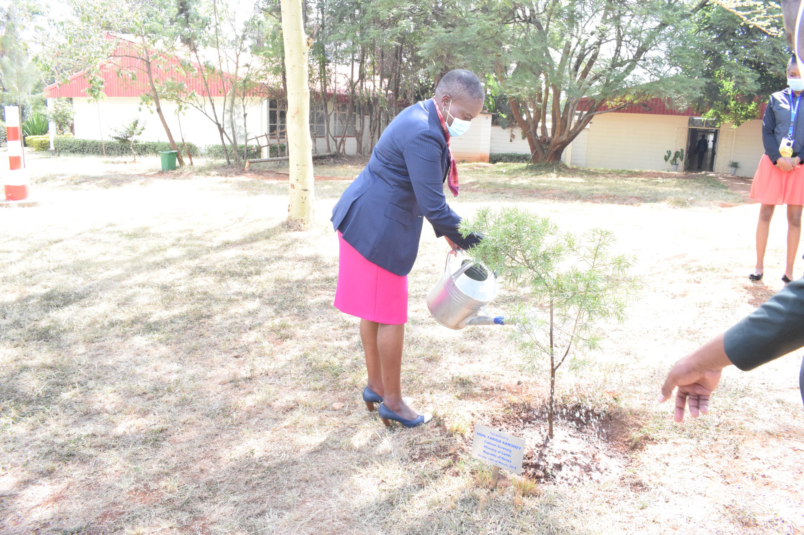
Cabinet Secretary Ministry of Lands and Physical Planning Hon. Farida Karoney Planted a tree at RCMRD


