RCMRD through the SERVIR-ESA conducted a needs assessment in 2016 to understand the climate related issues that the Rwanda was facing. From the assessment done, part of the key issues highlighted include landslides, land use change monitoring, deforestation, appropriate resettlements and monitoring of urban growth. Taking cognizance of the existing data, it was agreed that development of a Land use Decision support System (LUDSS) would be an optimal solution in addressing some of the identified issues.
Followup consultations were held in 2017 with key stakeholders from 8 (eight) Ministries from Rwanda, to further refine the specific needs that shall be addressed by the LUDSS. The consultations’ way forward was that the tools shall use available data to identify priority areas for forestry rehabilitation and this shall be based on: the Landslide susceptibility, land use change and the degraded lands. We held successive meeting to address the preliminary training needs and consultation meetings to tweak the prototype for suitable utility and needs addression. The tool is anchored on the Google Earth Engine, and intersects the most vulnerable land based on a 5 scale priority based on multiple stressors from Land use Changes, Land Degradation and Landslides susceptibility. The Landslides data is on a 5 scale from least susceptible to very susceptible.
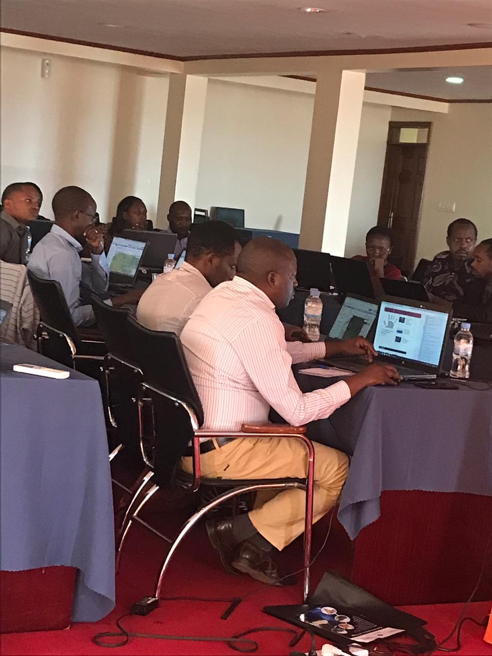
Through this we are able to identify the most vulnerable lands as priority hotspots for rehabilitation. Further we overlay topographical data on these hotspots to understand what infrastructure or services gets affects. We would now like to disseminate the tool officially and train the participants on the processes taken in developing such a tool. This will involve GEE training as the main platform and some components of GIS for Data Integration, we shall also discuss the processes utilized in development of individual data layers utilized.


