The Regional Centre for Mapping of Resources for Development (RCMRD) organized a training workshop on Open Source Tools, Earth Observation Data and Applications to support National Development for participants from the Southern Africa member States. The training started on October 5 to October 16, 2020.
According to Mr. Abdi Gedi from RCMRD’s Data Office, “We are in an information age where decisions are based on a combination of data from a range of disciplines. To take the right actions, decision-makers, businesses and citizens must be provided with reliable and up-to-date information on how our planet and its features are changing.” Gedi added that Earth observation and Geo-information tools play a critical role in this regard. "In the past access to geospatial information tools were made difficult not only by costs but also limited skills especially in developing countries."
He noted that in recent years’, major developments have been registered in this field that has greatly improved access to these tools, notably availability of open-source data software and tools. "Open-source data and tools offer the possibility to monitor our planet in a spatial and temporal extent. RCMRD seeks to bring the requisite technical capabilities to member States so that they can harness these opportunities. This course has been prepared in that spirit," he added.
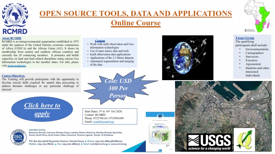
The training provided participants with the opportunity to develop crucial skills required for spatial data processing to address thematic challenges or any particular challenge of interest). Throughout the learning weeks participants focused on developing skills in natural resource mapping using Earth Observation (EO)/Remotely Sensed (RS) data. Many different, complementary and sometimes overlapping tools will be presented to provide an overview of the existing arena of open source software available for spatial data processing. Participants are expected to gain knowledge from a series of lectures and practical sessions. It also provides a platform for the participants to communicate with experienced practitioners and industry experts as well as widen their professional networks.
The training equipped participants with skills to access, process and analyze various open datasets using recent and up-to-date available tools. Most importantly, it allowed them to start using remote sensing data from the various platforms, with continuous practice during the learning week, participants will get more familiar with the EO data as well as developing competencies in areas, including; Work with earth observation and Geo-Information technologies, Use of open source data and tools, Earth observation data applications, Applications of the 2.5 Meter datasets and Automated segmentation and merging of the data.
It was expected that the participants would learn how to access open source data, get the capability to pre-process and analyze remote sensing/GIS data, use open-source tools in the analysis of GIS and remote sensing data and build institutional linkages of participating institutions as well as technical capacities.


