In line with the 2019-2022 RCMRD Strategic Plan, RCMRD has been building the capacity among Government personnel and other citizens in its member States. This continues to be undertaken through training and other capacity building activities thus raising RCMRD's profile. RCMRD recently hosted a training on the use of Open Remotely sensed Data /software in Addis Ababa Ethiopia from August 19 to 23, 2019 for member States from the greater Eastern Africa Region among them Kenya, Uganda, Tanzania Rwanda, Sudan, South Sudan, Ethiopia including Djibouti which is not yet a member State.
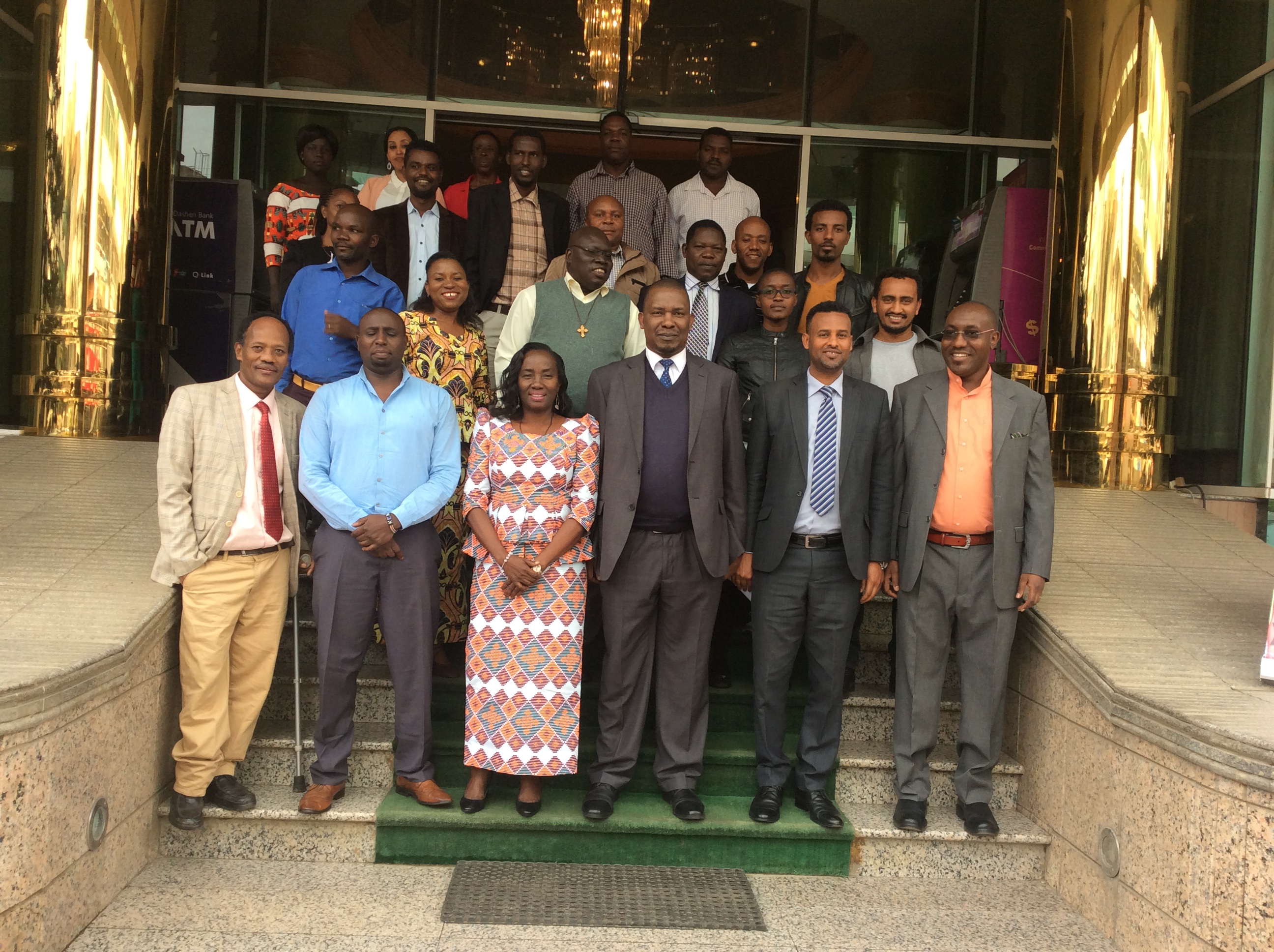
The training was formally opened by Dr. Tulu Besha the Director General of the Ethiopian Geospatial Information Institute (EGII) and Mr. Paul Idude the Director of Common Services at RCMRD. EGII previously known as Ethiopian Mapping Agency (EMA) is the organization responsible for mapping, surveying and remote sensing activities in Ethiopia. It aims at producing and disseminating quality geospatial information products and services which contribute to sustainable development of Ethiopia. Mr Tulu, said "the basis for this organization was to bring all spatial information activities in Ethiopia under one specialized agency that would anchor the growth and transformation agenda of the country through the provision of quality geospatial information to stakeholders."
During this training the participants were drawn from Universities, Government ministries /Departments and were given hands –on skills to handle Open Source Data acquisition and processing tools for diverse applications. Additionally, the training provided theoretical knowledge on Earth Observation and data analysis.
Open source data and tools offer the possibility to monitor our planet in spatial and temporal extent. RCMRD seek to bring the requisite technical capabilities to member States so that they can harness these opportunities.
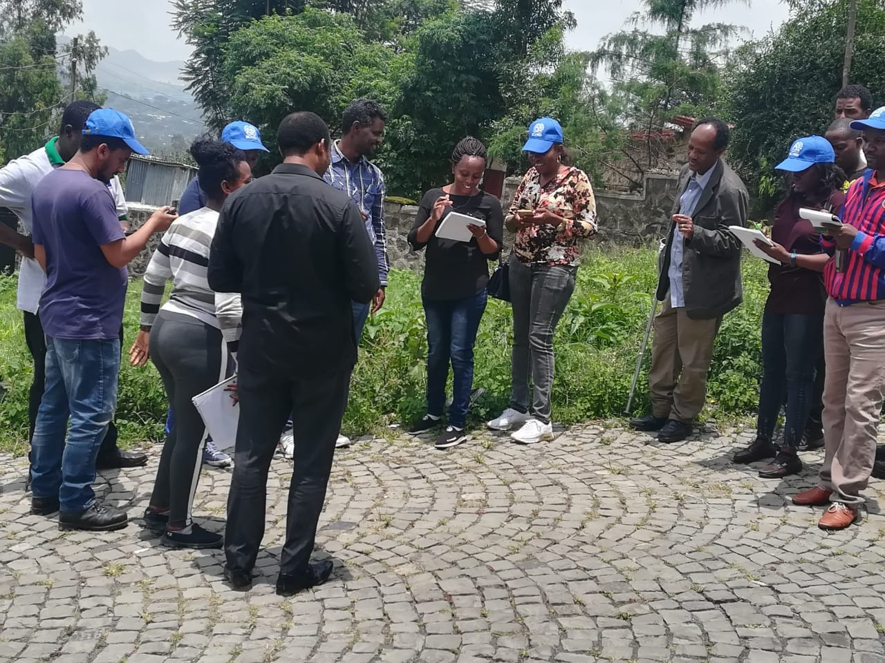
The Training provided participants with the opportunity to develop crucial skills required for spatial data processing to address environmental challenges. Throughout the learning week participants focused on developing skills in natural resource mapping using Earth Observation (EO)/Remotely Sensed (RS) data. Various tools of engagement were used to provide an overview of the existing arena of open source software available for spatial data processing.
At the end of the training, the participants gained knowledge from a series of lectures and practical sessions. It also provided a platform to the participants to communicate with experienced practitioners and industry experts as well as widen their professional networks. Moreover, the training provided knowledge on theories of Remote Sensing, data analysis and hands‐on practice in MODIS data flood detection and working with Sentinel-2 data for different applications.


