Registration is open for the African Reference Frame (AFREF) and Global Navigation Satellite Systems(GNSS) Data Processing workshop. The workshop to be held between October 4 to 8, 2021, aims to provide a forum for the Land Ssurveyors, Geodesists, Engineers, Earth Research Scientists, Cartographers from African countries with experience in Global Navigation Satellite System (GNSS) technologies.
RCMRD invites the related international communities to attend, acquire new knowledge and share their results and plans for the future as well as to initiate new collaborations and projects in the fruitful atmosphere of this highly topical workshop.
African Geodetic Reference Frame (AFREF) is a modern and uniform geodetic reference frame for Africa, fully consistent with the International Terrestrial Reference Frame (ITRF) and global coordinate systems to support national, regional and global applications in Africa including civil aviation, regional infrastructural development, Land administration and management, precision & commercial farming, weather forecast, and other earth science studies.
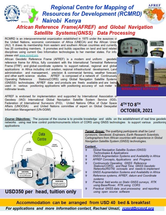
AFREF is composed of a network of Continuously Operating Reference Stations (CORS) using Global Navigation Satellite Systems (GNSSS) technologies. AFREF data and products are freely available and are being used in various positioning applications with positioning accuracy of sub meter to millimeter levels. AFREF is endorsed for implementation and supported by International Association of Geodesy (IAG) International Global Navigation Satellite System Service (IGS), Federation of International Surveyors (FIG), United Nations Office of Outer Space Affairs (UNOOSA) and United Nations committee of expert on Global Geospatial Information Management (UN-GGIM)
The purpose of the course is to provide knowledge and skills on the establishment of real time geodetic networks using real time control points/monuments inform of CORS using GNSS technologies to support various positioning applications.


