The Kenya Government, through the Ministry of Water, Sanitation and Irrigation and the Kenya Water Institute (KEWI) recently organized a GIS and Earth Observation Symposium held between June 24 and 25 2021 at KEWI, Nairobi. The symposium brought together different stakeholders in the water industry to showcase their application of GIS and Earth Observation as a decision-making tool, share ideas, identify opportunities yet to be exploited and reveal gaps in the uptake of GIS and Earth Observation. The symposium also aimed to foster partnerships within the sector stakeholders aimed at furthering research and development, leveraging digital tools, reinforcing capacity and enhancing data accessibility. While providing her opening remarks, the Cabinet Secretary, in the Ministry of Water, Sanitation and Irrigation, Hon. Sicily Kariuki appealed to the Kenya water sector players to adopt technology to better harness water resource.
The symposium also played host to four State House Girls High School students with major interest in Geography and passionate about the environment in connection with technology. They had sacrificed their time to explore what opportunities the geospatial industry has to offer in water sector. The symposium gave them exposure on career possibilities in geospatial field, and helped them make connections between what they learn in class and their future career goals.
According to State House Girls’ School Principal Mrs. Evelyn Nabukwesi, Senior Principal, since 2016, the school administration has provided opportunities for education trips especially in geography, to expose the students to the world of geospatial science. This has been instrumental in facilitating learning activities to enable the girls consider their career choices wisely. This also includes guidance in selection of subject combinations to enable students concentrate in their optional subjects of Geography early enough.
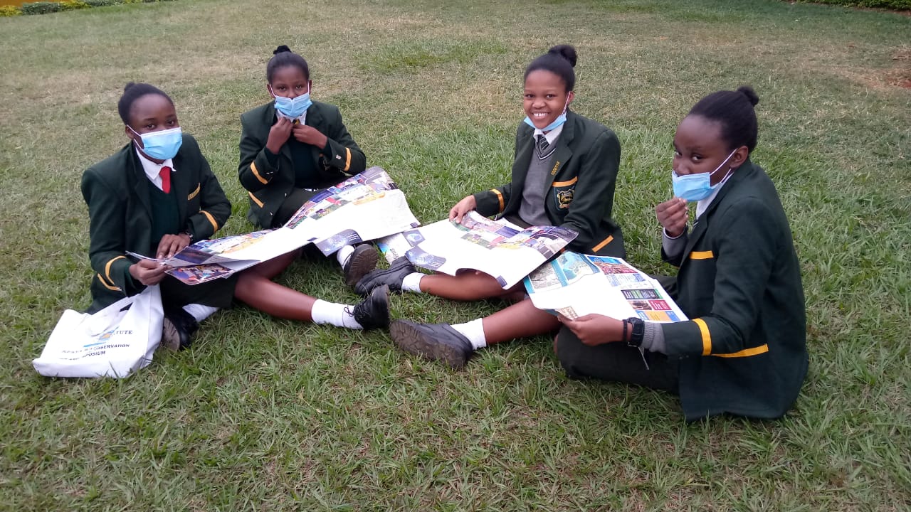
Some of the students who attended the mentorship forum included from left to right: Venah Otieno, Joy Omondi, Lorna Kale and Mkashai Chessie
In inspiring the girls, the major support came from parents, teachers and guidance involved in championing their young minds to look into certain engineering fields as was the case with one student Lorna Kale whose father was the first to expose her to GIS. “My Dad, told me about GIS and advised me to be keen on a geospatial science career” says Lorna Kale, a student from State House Girls. She hopes the exposure inspires many young women to join the geospatial field. Similar opinion is shared too by Mkashai Chessie, Joy Omondi and Venah Otieno, who made a point to attend the event in the quest to witness the benefits of Geography, in the hope of shaping their careers in the geospatial engineering field.
The Regional Centre for Mapping of Resources for Development (RCMRD), participated in the symposium and encouraged the water sector stakeholders to not only make measurements, but also utilize them to create services through innovative technologies to secure and manage water resources. The RCMRD also runs a mentorship activity for students dubbed “Space Challenge” whose goal is to equip students with skills in environmental science, climate change and its drivers in an effort to build their capacity in science, technology, engineering and mathematics (STEM) and the sustainable development goals (SDG’s). During the symposium, RCMRD and SERVIR Eastern and Southern Africa also had the opportunity to showcase some of the innovative services and platforms that utilize satellite data derived products to aid decision making processes in water resources planning and flood disaster risk reduction. This included the application of Variable Infiltration Capacity (VIC) model to support water resources management in Rufiji Basin, in Tanzania, and the Flash Flood Forecasting and Monitoring using open sources Earth Observation data with Regionalized EF5 Hydrological Model for Eastern Africa region.
At the end of the event, the girls were exposed to the vast applications of GIS, innovations in the water sector and resourcefulness and it motivated them to pursue geospatial careers. Their aspirations would be to use the technologies in future to provide services in the various sectors of the society to help solve day-to-day problems. Most organizations are keen to provide mentorship and empower young girls by equipping them with the information and skills they need to make it in STEM careers. The geospatial technology field, which includes Geographic Information System (GIS), geo-informatics, remote sensing, Earth observation, and geomatics provides immense opportunities for girls and women to shape their careers and make significant contributions in society.


