Staff of RCMRD/SERVIR Eastern and Southern Africa (SERVIR E&SA) has completed a one-week training on Sentinel Data Processing and Analysis in Dar es Salaam, Tanzania. The one-week course was identified after a needs assessment.
The stakeholders expressed interest in using free and open data from Sentinel in order to improve the current land cover maps in Tanzania. Sentinel program is a joint effort of European Space Agency and European Commission to replace and continue existing older earth observation missions ensuring no data gaps on global monitoring of environment and security.
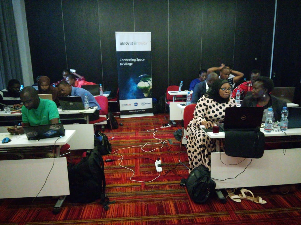
The training aims to guide stakeholders from the SERVIR-E&SA region in Sentinel satellites data analysis for various applications. There were 20 participants drawn from the National Land Use Planning Commissions-NLUC,Ardhi University,University of Dar es Salaam,Ministry of Lands, Housing & Human Settlement Development, IRA-UDSM/Commision for Science and Technology, Tanzania Forest Conservation Group and TAFIRI.
The satellites in Sentinel mission acquire data in Synthetic Aperture Radar (SAR) mode while in Sentinel‐2 mission acquire in Multispectral mode. All data acquired by Sentinel program are available free of cost and have great potential to land cover mapping and environment monitoring in Eastern and Southern Africa region.
The training on Sentinel data analysis tools and techniques will certainly advance the capability of the professionals in the RCMRD and its partners in the region.