On May 23, 2022, the Regional Centre for Mapping of Resources for Development (RCMRD) through the SERVIR Eastern and Southern Africa Project (SERVIR E&SA) held a two-day workshop whose objective was to showcase, disseminate and exhibit the tools, products, methods and data that SERVIR has co-developed; and facilitate partnerships, among stakeholders in the various SERVIR E&SA thematic areas. One of the tools that was showcased to stakeholders drawn from government, non-governmental institutions, academia, private sector and media was the iSWIM (Inland- Satellite-based Water-quality Indicators Monitor) application.
One of the tools that was showcased to stakeholders drawn from government, non-governmental institutions, academia, private sector and media was the iSWIM (Inland- Satellite-based Water-quality Indicators Monitor) application. The iSWIM is a web application that provides access to pre-processed data from a number of satellites, to provide indicators of pollution and water condition in lakes. For instance, satellite data provide indicators of chlorophyll-a and sediment concentrations at the surface of lakes and oceans. Satellites also provide information on lake surface temperature (LST), water clarity indicators (e.g. Secchi Depth), and bio-productivity in the lake (trophic state). These indicators change over time and are important measure of of lake ecosystem health. For lakes such as Lake Victoria and Lake Tanganyika, high concentrations of chlorophyll-a at the surface (commonly known as algal blooms) points to pollution related to high nutrient (e.g. fertilizers from agricultural lands) into the lakes. Since satellites can take images of the lake surface much more frequently than ships, the satellite data thus compliments the efforts of water resource managers to detect areas with significant pollution. The iSWIM tool thus provides a platform where researchers and fishery managers can derive data on the quality of water in inland lakes and support important decisions such as hyacinth management and cage aquaculture. The data extracted from satellites can be combined with data derived from field studies and boat expeditions to provide a near-complete set of observations of key water quality indicators that can further be used by lake management experts, policy makers, data managers and other interested parties in various ways to support their decision-making efforts.
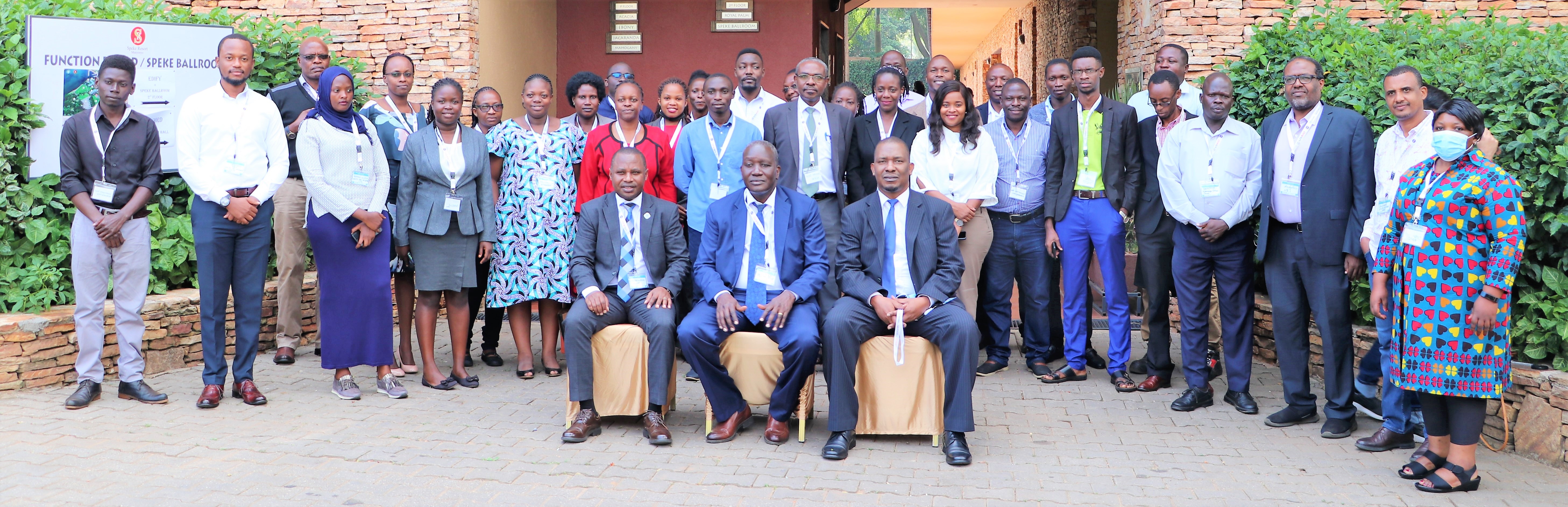
Some of the participants who took part in the Uganda Open Day in late May, 2022.
The opening session for the 2-day workshop was also graced by the Permanent Secretary (PS) in the Ministry of Water and Environment (MWE), Mr. Alfred Okot Okidi. The PS reiterated the importance of geospatial information and technologies in all the sectors of Uganda’s economy. He noted that “building capacity on the use of geospatial information in decision making, modernizing our processes and workflows through adoption of relevant technologies and reforming key pieces of legislation and regulations is a path we all endeavor to take today.” He appreciated that water quality monitoring was one of the major challenges facing several inland lakes in Uganda, which was a phenomenon attributed to rapid population growth, urbanization, degraded river catchments and increased competing interests for the scarce water resources as well as lack of reliable information to support water resources planning, allocation and management decisions. “We believe with the tools launched today, we can now answer simple but pertinent questions such as, which areas are polluted within the lake and why,” the PS added. According to PS, the path to the development of the (iSWIM) began in May 2016 during a Needs Assessment exercise that brought together more than 20 institutions to discuss the various developmental challenges in Uganda. Mr. Okidi implored the participants to “keep working together to promote the use of Earth observation and geo-spatial sciences in finding solutions to the developmental challenges faced by Uganda.”
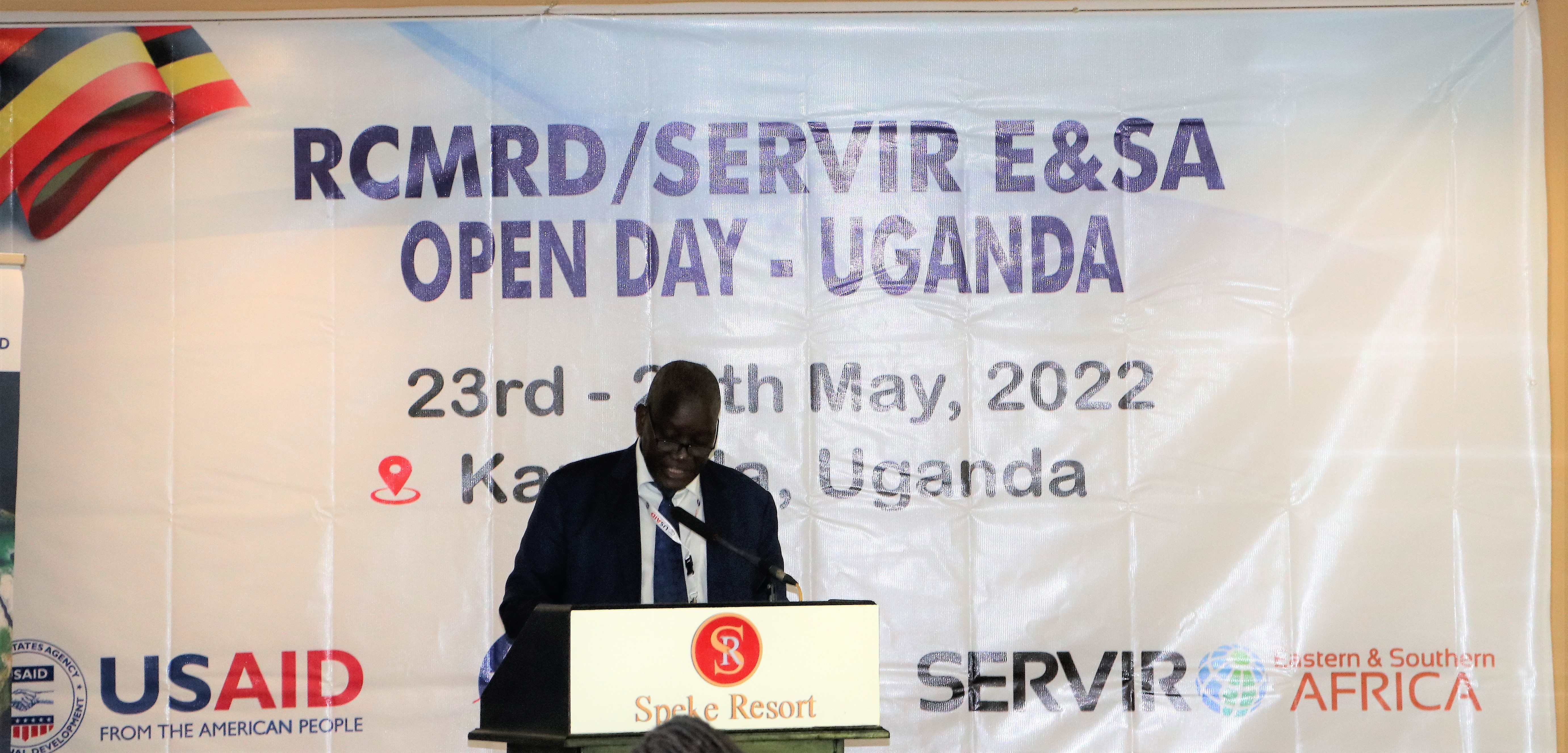
Permanent Secretary Ministry of Water and Environment (MWE), Uganda Mr. Alfred Okot Okidi
While addressing the stakeholders, the RCMRD Director General, Dr. Emmanuel Nkurunziza observed that one of the reasons that the Centre was set up was to help member States map and understand the natural resources that they have and to help them plan their use sustainably. He went on to note that water resources are a critical resource on the continent. “There are many surface water sources including lakes, rivers and streams that are very important in different sectors such as domestic use, fishing, transport and power generation. These needs cannot be fulfilled if we do not understand these resources, manage them and ensure their quality is maintained.” He underscored the role that RCMRD played in demonstrating the power of space science and satellite technology in improving the existing capabilities to monitor the quality of natural resources. The DG further appreciated the partnerships with Uganda institutions to create the iSWIM.
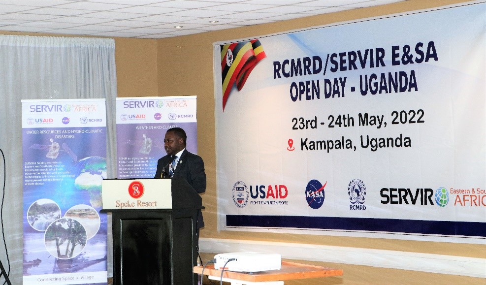
RCMRD Director General Dr. Emmanuel Nkurunziza addressing participants at Speke Resort Munyonyo in Kampala, Uganda.

The landing page of the iSWIM (Inland- Satellite-based Water-quality Indicators Monitor) application.
Speaking during the opening session, the SERVIR E&SA Project Manager Dr. Robinson Mugo informed the meeting that the Centre in partnership with the Ministry of Water and Environment, and NAFFIRI had co-developed various services and products meant to address the developmental challenges in Uganda, in the following thematic areas: Agriculture and Food Security, Weather and Climate, Land Use Land Cover and Ecosystems, Water and Water Related Disasters. He added that a critical aspect to the development is creating awareness and dissemination of the products to various stakeholders within Uganda.
While in Uganda, the RCMRD with support from the SERVIR project further launched a student mentorship program at Makerere University. The move was aimed at promoting and building capacity of the youthful generation in use of Earth observation technologies in resource management. Students studying the use of satellite information and geo-spatial fields at Makerere University were encouraged to use the knowledge available through these technologies for societal benefit. The RCMRD/SERVIR User Engagement Lead, Mr. Kenneth Kasera emphasized that the partnership with Makerere University would enable the students to gain exposure to the latest technologies in the Earth observation and applications field, since this was a rapidly changing field.
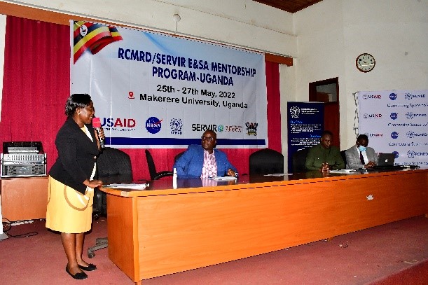
Dr. Venny Nakazibwe the Deputy principal for the CEDAT), Makerere University

From Left to Right: Dr. Ronald Sengendo, Head of Department, College of Engineering, Design, Art and Technology (CEDAT), Dr. Venny Nakazibwe the Deputy principal for the CEDAT) RCMRD Director General Dr. Emmanuel Nkurunziza and Mr. Paul Idude Director Corporate Services at RCMRD.

Officials of Makerere Kuza Club Mentorship Program
The participants in the SERVIR Open Day in Uganda were from the following institutions: the Ministry of Water and Environment, Ministry of Agriculture, Animal Industry and Fisheries, Ministry of Agriculture, Ministry of Lands, Kyambogo College, Forest Department, Nakawa, Uganda National Fisheries Resources Research Institute, Uganda National Farmer’s Federation, Air Water Earth (AWE), Kyambogo University, Uganda Bureau of Statistics (UBOS), Disaster Preparedness Department, National Forestry Authority, Meteorological Department, Makerere University (CEDAT), Environmental Surveys, Information, Planning and Policy Systems, National Water and Sewage Corporation, White Oak Holdings Limited, National Environmental Management Authority, Kilimo Trust, ESSIPS International and Uganda Meteorology Authority. The media were represented by Metro News, Smart TV, Daily Monitor, NTV (Urban TV), NBS. Below is some media coverage from Uganda
https://www.monitor.co.ug/uganda/news/national/mak-students-launch-climate-change-project-3831828
https://u51t7.app.link/6AYQduWllqb
†SERVIR is joint initiative of NASA, USAID, and leading geospatial organizations in Asia, Africa, and Latin America, SERVIR partners with countries and organizations in these regions to address critical challenges in climate change, food security, water and related disasters, land use, and air quality. Using satellite data and geospatial technology, SERVIR co-develops innovative solutions through a network of regional hubs to improve resilience and sustainable resource management at local, national and regional scales.


