Floods are among the most common and destructive natural hazards. They occur when large quantities of water overflow onto a normally dry land. Flooding can be caused by overflowing of streams, rivers, lakes or oceans or can be because of excessive rain. Various factors are likely to see an increase in the frequency and intensity of flooding events. These include: local geography, ground cover, growing human populations and erratic weather conditions due to global warming. Such floods are a setback to a nation’s security and development because they destroy key infrastructure. Successful mitigation actions will involve some form of tried and tested technology.
The RCMRD through SERVIR E&SA and University of Oklahoma (UO) conducted a two day technical training workshop on the Ensemble Framework for Flash Flood Forecasting (EF5) on 21st and 22nd November 2019 at Protea Hotel in Kampala, Uganda. The training was preceded by the Advance EF5 training conducted in April 2018 by RCMRD and UO team. The trainers included RCMRD's Calvince Wara the thematic Lead for Water and Hydroclimatic Disasters, Felix Kasiti the Assistant Hydrologist, Allan Maungu a GIT Expert and University of Oklahoma,USA's Tavera Paredes Andrea a Masters Student and Mengyne Chen a PhD Student.
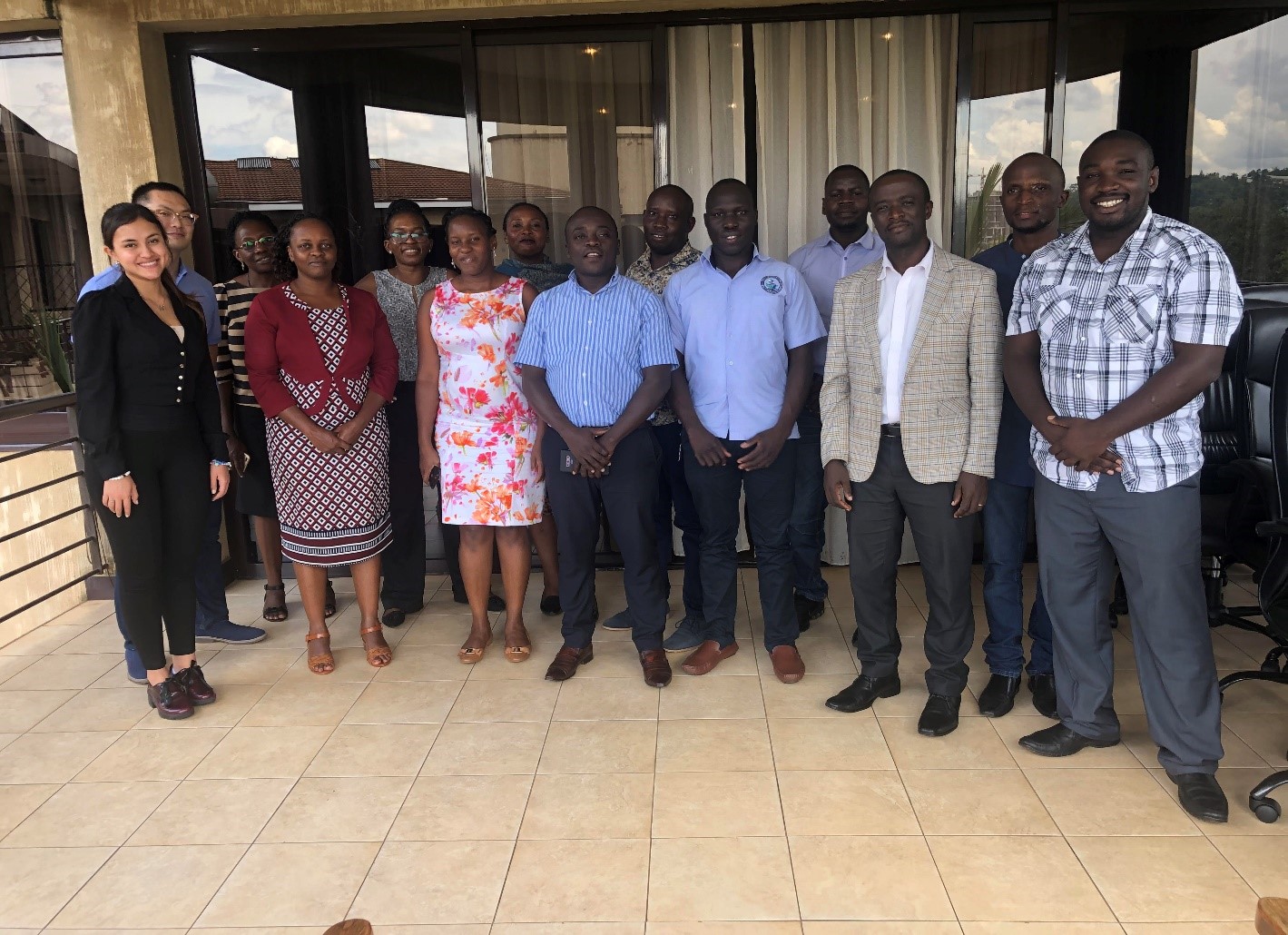
This training involved 11 professional staff drawn from the Ministry of Water and Environment, Uganda National Meteorology Authority, National Forestry Authority and Office of the Prime Minister - Disaster Preparedness. The hands-on activity included the following activities; Preparation of Precipitation forcing with numerical weather prediction, global forecasting system, Weather research and forecast model, EF5 control file set up and execution with NWP, download and visualization for IMERG & TRMM and PET data for Kyoga Basin. Other activities included Using Jupyter notebook to view EF5 model simulation results; Application of multiple gauges for cascading calibration and validation; Flood inundation and flood inundation map from the EF5 output for three river basins; Application of EF5 output for drought monitoring and forecasting and visualization; EF5 East African demo platform for regional flood monitoring and forecasting and alert notification system.
During the training, one of the participants gave a presentation on how through the skills acquired during the previous EF5 training, he applied EF5 model for hydrological assessment of Atari River in Kyoga Basin for Ngenge Sub-County Water Supply system in Uganda. It was expected that after the training participants would improve their data mining skills and enhanced capacity of the professional staff on the application of EF5 model for stream flow modelling, flood monitoring and inundation mapping. They were also expected to give feedback on the model results visualization and historical flood events in Uganda for EF5 model calibration and validation. They also gave suggestions on customizing the platform applicability in the region.
Post training evaluation was undertaken by RCMRD’s Monitoring & Evaluation Specialist that provided indication of the training's success. About 67% of the participants benefited from the new skills and information provided during the training and about 75% agreed that the time was constrained as there was a lot covered within the two days duration.
As a follow up, participants requested for a webinar in the last week of February 2020. Participants also proposed refining the model display and notification platform to conform to the Ugandan administrative levels.


