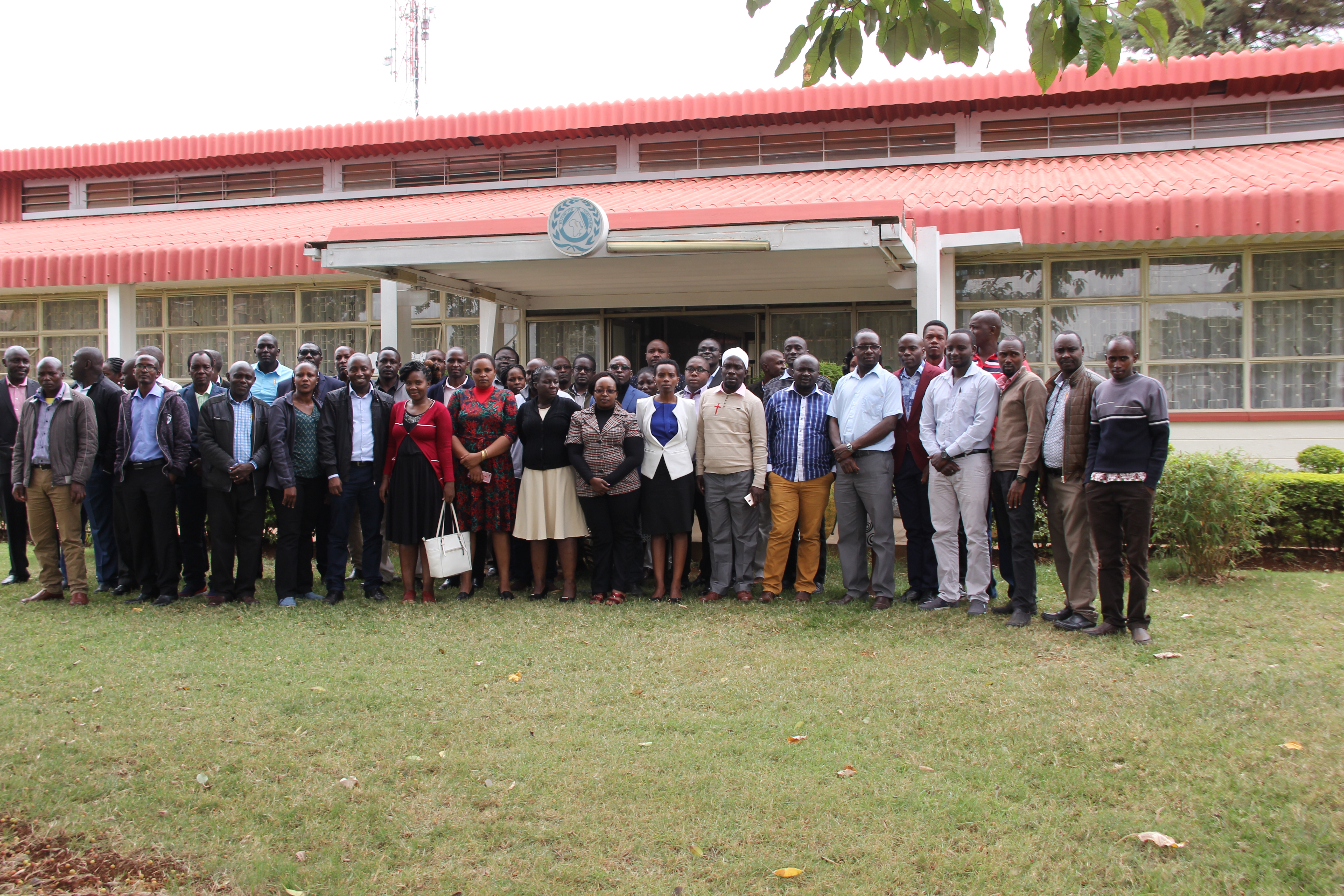
Regional Centre for Mapping of Resources for Development (RCMRD) in collaboration with the Institution of Surveyors of Kenya (ISK) held a one week training at the Center.
The Course was structured to meet several objectives including understanding the coordinate systems in Kenya, grasping the components, specifications and applications of a Global Navigation Satellite Systems(GNSS) and Continuously Observing Reference Stations (CORS). Held between September 9 to 13, the Surveyors were trained on understanding and describing the components, specifications and applications of other modern measuring tools including Total stations, Digital levels, distant laser meters, rotating lasers,Outline the sources and processing of stereo images for production of DTM/DEM including drone technology and GNSS practice and use of available CORS in Kenya among others.
The course was designed to reinforce participants’ knowledge and practical skills in the use of GIS and satellite analysis. The training included modules to refresh GIS concepts, learn how to produce quality thematic maps and how to undertake remote sensing analysis on different satellite images. The training assignments included a SWOT analysis and the review of case scenarios using datasets from past disaster events in the Horn of Africa.

This training described the role of Reference Networks in National Development, Understanding Geodetic Networks and applications of GNSS, Grasping the application of Workflows in Land Surveying using CORS, (D)GPS and RTK, Applying digital Transformations of Coordinates using Geo-Referencing Techniques
GNSS Practice in Civil Works, Engineering, Topographical, and Cadastral Applications. On the final day of the ISK/RCMRD Training. The topics of discussion included; Mobile device data capture for general boundaries and the use of tables for general Boundary data capture. Surveyors who took part in the training earned 30 CPD points.


