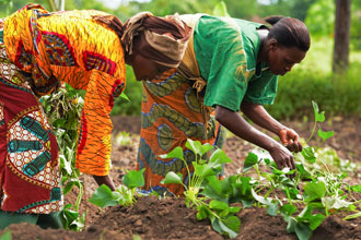
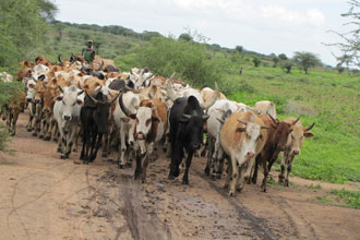
SERVIR is helping countries in Eastern and Southern Africa Region use information provided by Earth observing satellites and geospatial technologies to improve environmental management and resilience to climate change
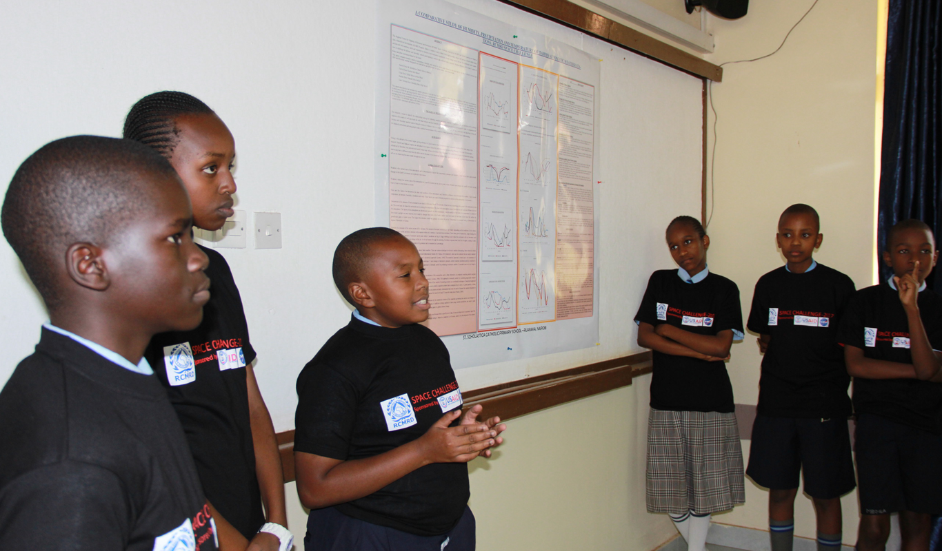
SERVIR E&SA introduced an activity dubbed “RCMRD Space Challenge” meant to enlighten primary and secondary school children on some of the causes and drivers of climate change by enabling them to participate in weather data collection and analysis link
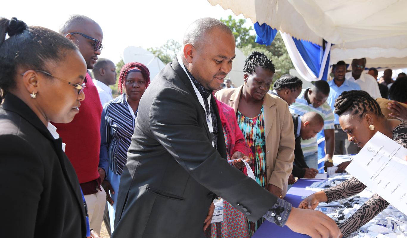
SERVIR E&SA is supporting RCMRD International Conference whose objective is to create a platform for exchanging ideas on the application of earth observation information and geo-spatial technologies for societal benefit. This years's conference has been postponed until August 2021 due to Covid19
Application & Datasets
Application & Datasets
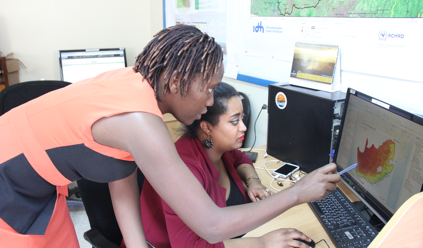
For users to access the DATASETS AND MAPS that have been developed and shared online, we have platforms such as apps portal,geoportal, open data site that are useful for accessing these spatial based products and services
GRANTS Program
GRANTS Program
The objective of the grants program is to expand SERVIR ESA’s network of organizations and to generate innovative ideas for applying earth observation data and geospatial methods/tools for development decision-making
The information provided on this website is not official U.S. Government information and does not represent the views or positions of the U.S. Agency for International Development or the U.S. Government.


 in the Kingdom of Eswatini")


