.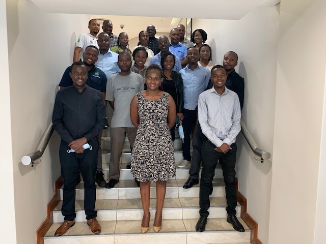
Caption: Leveraging the Cloud and Earth observations for monitoring change in Zambia
RCMRD, through its SERVIR Eastern and Southern Africa program, has been focused on strengthening national and institutional capacities to be able to adopt and adapt new technologies that can help in improving resource management to address varied development challenges. In February 2022, it conducted a one week training to stakeholders drawn from the University of Zambia, National Remote Sensing Center, Department of Survey and Lands, and Department of Forestry in Zambia, on the use of Google Earth Engine (GEE) cloud computing resources. GEE for remote sensing applications is quickly becoming one of the most utilized tools in the scientific and decision-making community. GEE provides unparalleled access to petabytes of data for analysis through cloud computing technology. The aim of the training was to equip the stakeholders with knowledge and skills of addressing issues related to deforestation, degradation and change occurrences, knowing when and where they happen.
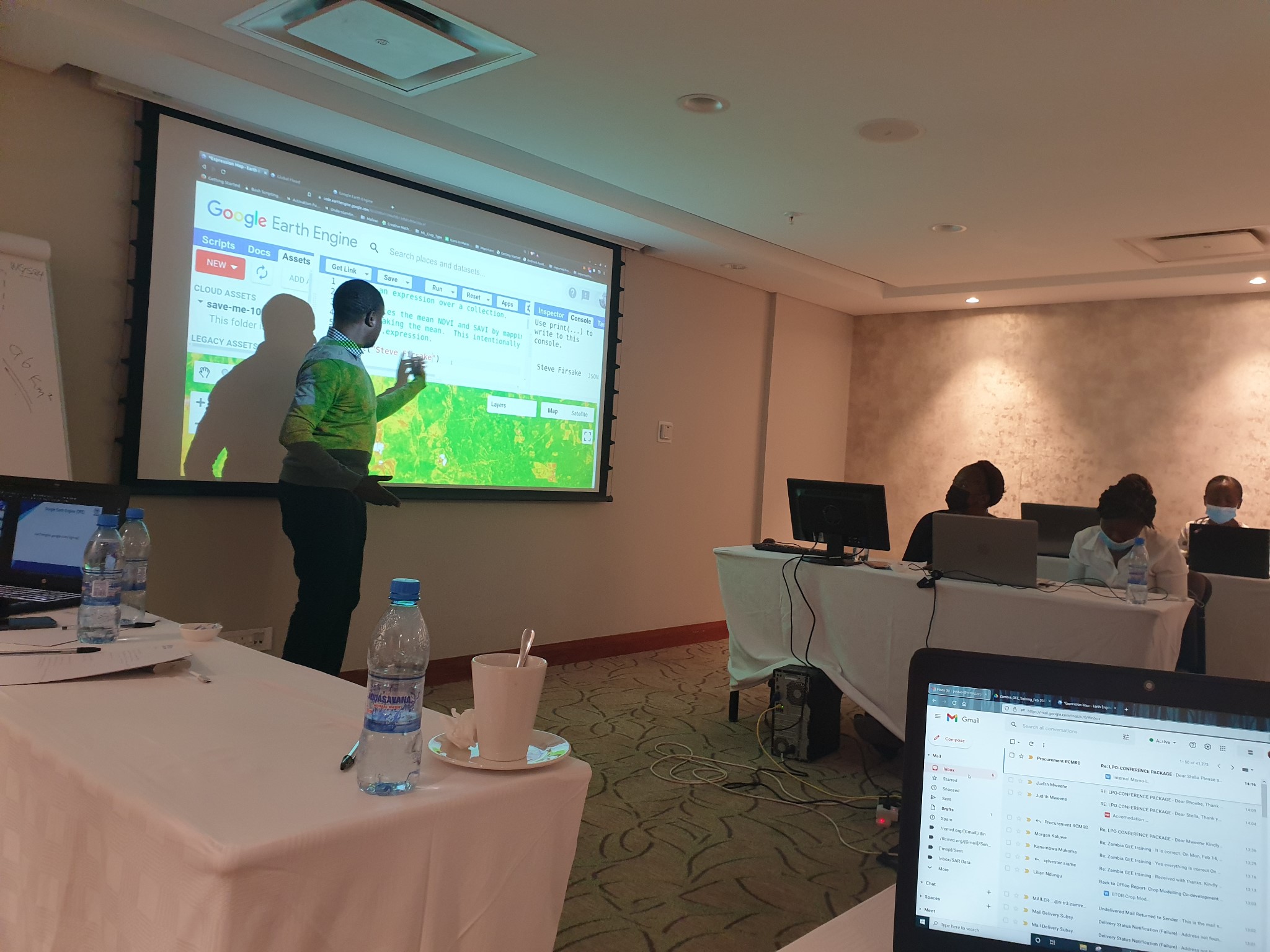
Caption:RCMRD conducted a one-week GEE training in Zambia
This training covered the GEE Code Editor, hands-on exercises on change detection, time series analysis, land cover classification, and accuracy assessment. By the end of this training, the participants were able to: Navigate the GEE interface to explore remote sensing datasets relevant to land monitoring; optimize the strength of GEE in providing multiple access to shared resources with GEE and those that can be brought into GEE as a shared resource, execute JavaScript commands to retrieve satellite data and process imagery for analysis, develop proxy indicators for monitoring losses in vegetation over periods of time; and access data processed remotely into local machines for further use and assessments should that be necessary.


