Roysambu, Kasarani
Call: +254 723 786161 / +254 735 981098 | ISO 9001:2015


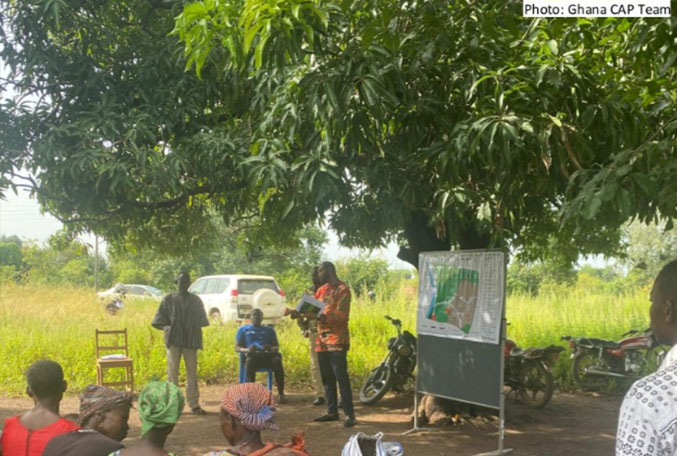
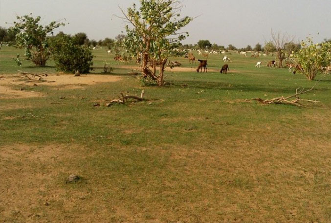
The GEO Land Degradation Neutrality Flagship (GEO-LDN) is a stakeholder-driven initiative that was launched in 2018 during the Group on Earth Observations Week in Kyoto, Japan, responding to a request by the UNCCD's Conference of the Parties (COP13). It brings together Earth observation data providers and governments to develop minimum data quality standards, analytical tools and capacity building needed to strengthen land degradation monitoring and reporting, using remote sensing and data collected on site. GEO-LDN helps governments to access the necessary datasets and tools to prioritize interventions, monitor outcomes to manage land better and to report on Sustainable Development Goal (SDG) indicator 15.3.1 (Decision 9/COP.13).
RCMRD partnered with GEOLDN Secretariat to enhance helpdesk services. The main objectives of the RCMRD GeoLDN Helpdesk are:
• Support countries leverage earth observation and in-situ data for monitoring and reporting on SDG 15.3
• Foster Data Access
• Enhance capacity building on EO data
• Mobilize country teams to develop data standards and protocols
GEOLDN HelpDesk Services
• LDN Toolbox Data Access, Processing and Interpretation
• LDN Baseline Indicators: Land Cover, Land Productivity, Soil Organic Carbon
• LDN Methodologies Convergence of Evidence: RUSLE Model/FAO WOCAT/JRC/Trends.Earth
• LDN Toolbox Decision Support System
• UNCCD SDG 15.3 Reporting
• Synergies with other Continental Initiatives
GEOLDN HelpDesk Platforms
• helpdesk-eastern-africa@geo-ldn.org
Help Desk Webpage: https://geo-ldn.org/
Social Media platform: https://www.linkedin.com/company/geo-ldn/posts/?feedView=all
The GEO Land Degradation Neutrality Flagship (GEO-LDN)