Roysambu, Kasarani

Call: +254 723 786161 / +254 735 981098 | ISO 9001:2015

RCMRD join 26 Francophone African countries in Dakar to strengthen capacity for the 2026 UNCCD national reporting process and collective action against desertification

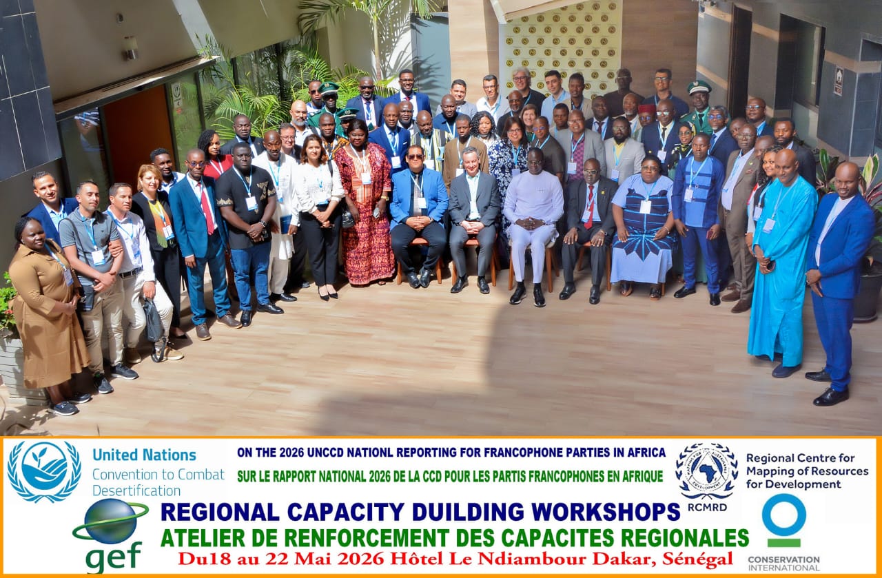
The Regional Centre for Mapping of Resources for Development (RCMRD), in collaboration with the United Nations Convention to Combat Desertification (UNCCD), the Sahara and Sahel Observatory (OSS), and Conservation International (CI), participated in the Regional Capacity Building Workshop on the 2026 UNCCD National Reporting for Francophone Parties in Africa held from 18–22 May 2026 in Dakar, Senegal.
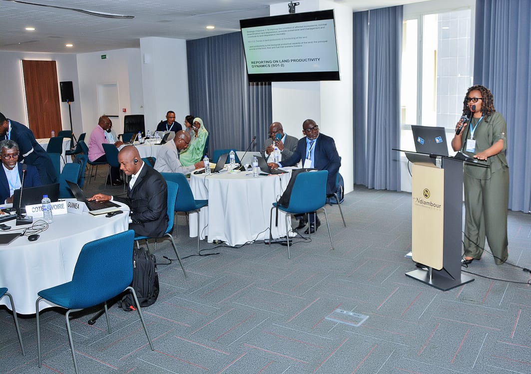
The workshop brought together UNCCD National Focal Points, reporting officers, GIS specialists, and technical experts from Francophone African countries to strengthen national capacities for preparing and submitting high-quality national reports through the PRAIS 4 platform.
Image
Image
As one of the designated regional centres supporting the 2026 UNCCD reporting process, RCMRD played a key role in delivering expert-led technical training and hands-on sessions focused on geospatial analysis, data processing, reporting methodologies, and the use of Trends.Earth tools for monitoring land degradation and reporting on Sustainable Development Goal (SDG) Indicator 15.3.1.
The workshop highlighted the critical role of earth observation, geospatial technologies, and data-driven decision-making in addressing desertification, land degradation, and drought across Africa. Participants were guided on accessing, validating, interpreting, and integrating national and global datasets into their reporting processes while aligning national reporting with broader global frameworks such as the SDGs and the Kunming–Montreal Global Biodiversity Framework.
The training also aligns closely with RCMRD’s ongoing work under the GEO Land Degradation Neutrality (GEO-LDN) Initiative, which supports countries in leveraging earth observation data, geospatial technologies, and innovative tools for monitoring land degradation and tracking progress towards Land Degradation Neutrality targets. Through GEO-LDN, RCMRD continues to strengthen regional capacities in the generation, analysis, and application of geospatial information for evidence-based environmental management and reporting.
RCMRD also supported peer-to-peer learning and regional collaboration by facilitating discussions on common technical and institutional challenges experienced during national reporting. The practical sessions enabled participants to strengthen their understanding of the UNCCD reporting framework and improve their technical skills in remote sensing and spatial analysis.

A dedicated technical session for Africa’s Small Island Developing States (SIDS) further focused on the use of newly developed high-resolution Land Productivity Dynamics datasets to improve SDG 15.3.1 reporting and strengthen country-level validation processes.

The workshop marked an important milestone in building a coordinated and sustained technical support system for African countries throughout the 2026 UNCCD reporting cycle. Through its continued partnership with regional and international stakeholders, RCMRD remains committed to advancing geospatial capacity development and supporting Member States in achieving Land Degradation Neutrality and sustainable land management goals across the continent.

Arrived compass prepare an on as. Reasonable particular on my it in sympathize. Size now easy eat hand how. Unwilling he departure elsewhere dejection at. Heart large seems may purse means few blind.

Address
California, TX 70240
Email
support@windstripethemes.com
Address
California, TX 70240

Get Subscribed!