Warning: Undefined property: stdClass::$menualign in /home/oer0bv54p2ue/public_html/plugins/system/helixultimate/src/Core/Classes/HelixultimateMenu.php on line 465
Warning: Undefined property: stdClass::$menualign in /home/oer0bv54p2ue/public_html/plugins/system/helixultimate/src/Core/Classes/HelixultimateMenu.php on line 470
Warning: Undefined property: stdClass::$menualign in /home/oer0bv54p2ue/public_html/plugins/system/helixultimate/src/Core/Classes/HelixultimateMenu.php on line 476
Warning: foreach() argument must be of type array|object, string given in /home/oer0bv54p2ue/public_html/plugins/system/helixultimate/src/Core/Classes/HelixultimateMenu.php on line 479
Safeguarding Comoros’ Coastline: RCMRD and Digital Earth Africa Pioneered a Coastal Erosion Monitoring Mission
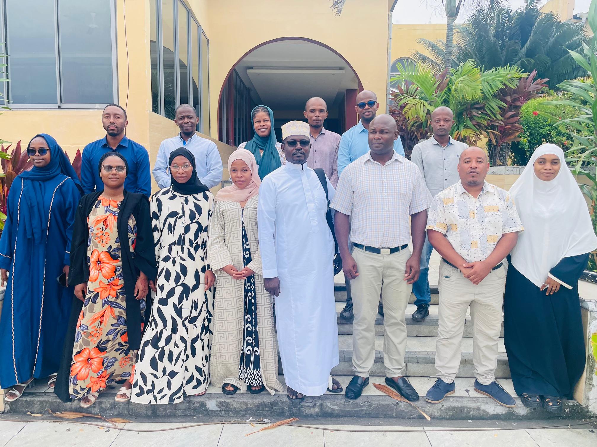
The Regional Centre for Mapping of Resources for Development (RCMRD), supported by Digital Earth Africa, completed a field mission to monitor and mitigate coastal erosion in Comoros. The initiative marked an important step toward safeguarding Comoros’ fragile coastline while addressing environmental challenges that had been impacting local communities and industries.
Comoros, with an exclusive economic zone 85 times larger than its land area, depended heavily on its coastlines. Approximately 41% of its population lived along the coast, and 16% relied on fishing for their livelihoods, contributing about 10% to the national GDP. However, escalating coastal erosion and related issues—caused by rising sea levels, human activity, and natural hazards—posed significant threats to the nation’s marine ecosystems, infrastructure, and economic stability.
According to Aboubacar Nair, Head of the Cartographic Unit at the Ministry of Territorial Planning, Housing and Land Affairs, “In addition to the increased impacts due to coastal erosion, rising waters and marine intrusion, the exploitation of natural resources was a real scourge for our coastal areas. The exploitation of marine sand and the destruction of corals amplified these phenomena.” The government of Comoros remained committed to addressing these issues by improving water governance and infrastructure.
Led by RCMRD, in collaboration with the Comoros Cartographic Unit and Bureau Géologique des Comores, the mission leveraged geospatial technology, including freely available Earth observation data from Digital Earth Africa, to monitor vulnerabilities and support data-driven management of Comoros’ vulnerable shorelines. The mission aimed to validate newly developed modules for coastal erosion mapping while strengthening stakeholder collaboration on the ground.
A multidisciplinary team comprising GIS experts, data analysts, and local cartographers conducted field surveys using advanced tools such as the cloud-based Digital Earth Africa Sandbox platform and Kobo Toolbox, collecting vital data on erosion rates and causes.
Key findings revealed 89 coastal erosion hotspots, predominantly in Grande Comore (60 locations) and Moheli (19 locations). Coastal erosion had endangered schools, businesses, infrastructure, and agricultural lands, demonstrating a critical need for targeted interventions.
“The tools developed by Digital Earth Africa in collaboration with RCMRD informed us about the state of our coastline by highlighting the areas most affected by erosion,” said Nair. “In this way, we were able to chronologically follow the progress of the phenomenon. Our teams benefited from training on data collection methodologies and the use of tools to inform our decision-makers for effective action.”
Moving forward, the integration of these data insights into national environmental strategies and the enforcement of stricter controls on activities such as sand harvesting were identified as essential priorities. To further strengthen resilience, RCMRD and Digital Earth Africa planned to enhance capacity building for local farmers, fishers, and infrastructure managers, taking a collaborative and holistic approach to coastal conservation.
Arrived compass prepare an on as. Reasonable particular on my it in sympathize. Size now easy eat hand how. Unwilling he departure elsewhere dejection at. Heart large seems may purse means few blind.