Roysambu, Kasarani

Call: +254 723 786161 / +254 735 981098 | ISO 9001:2015

Strengthening geospatial capacity through hands-on Training in Survey & Geodetic equipment management

Accurate and reliable geospatial data forms the backbone of informed decision-making, infrastructure development, and sustainable resource management. As technologies such as GNSS receivers, total stations, digital levels, UAVs, and LiDAR systems continue to advance, the need for well-maintained, properly calibrated, and efficiently managed equipment has become increasingly critical for both academic and professional practice.
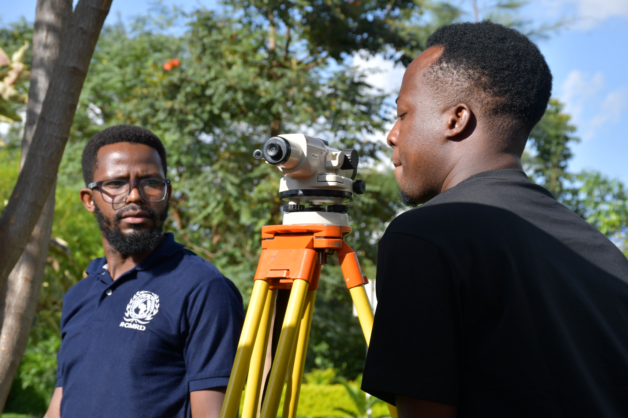
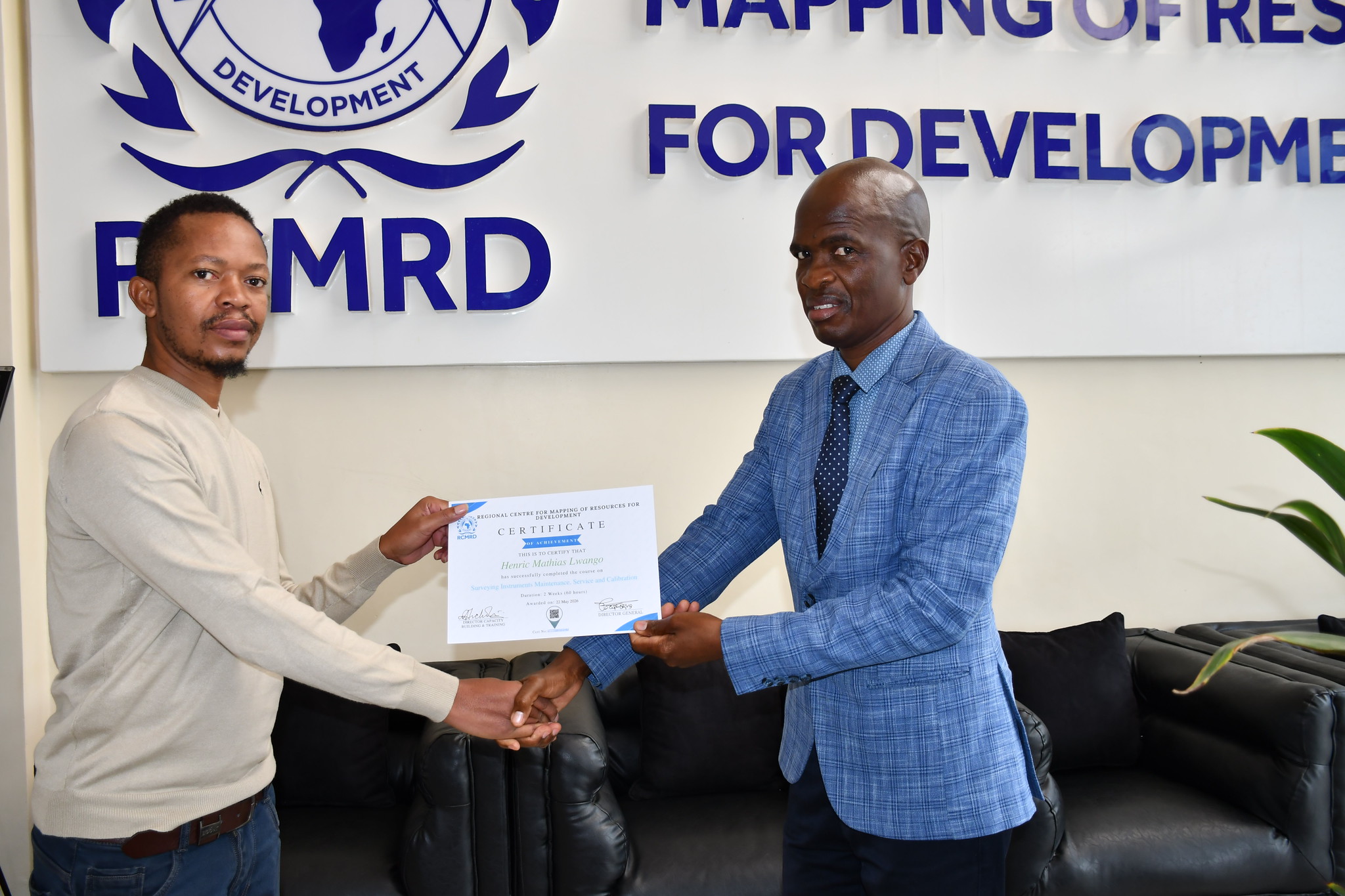
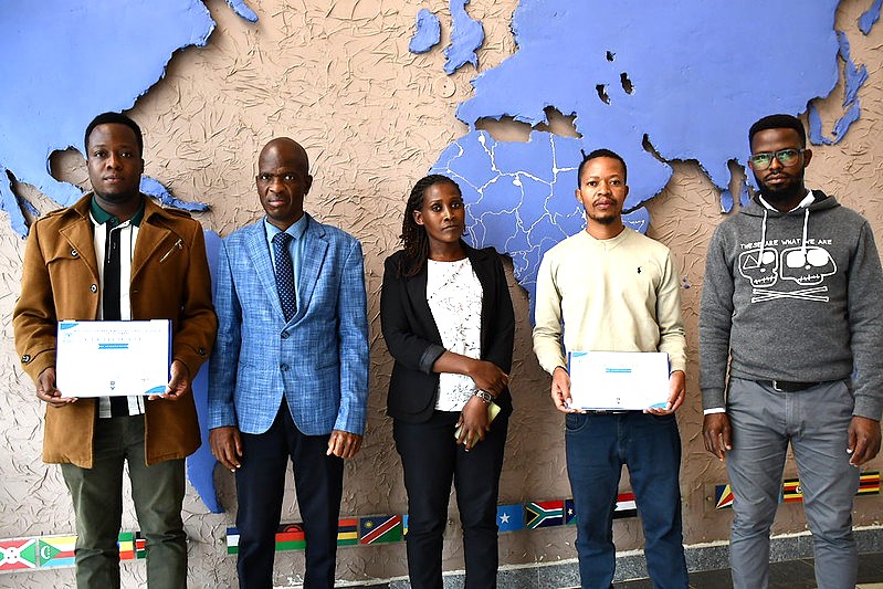
In response to this need, a two-week intensive training programme on the maintenance, servicing, and calibration of survey and geodetic equipment was held at the Regional Centre for Mapping of Resources for Development (RCMRD) in Nairobi. The training brought together two technical staff trainees from Ardhi University, an institution that manages a substantial inventory of surveying instruments used for student training and research.
Image
Image
Image
The programme was designed to strengthen institutional and individual capacity in ensuring the accuracy, longevity, and operational efficiency of geospatial instruments. It provided participants with practical exposure and hands-on experience in key technical areas, including instrument calibration, servicing procedures, equipment handling, field checks, and preventive maintenance. In addition, the training emphasized effective management of survey equipment stores—an essential component in ensuring accountability, readiness, and optimal use of resources in geospatial operations.
While speaking during the training session, RCMRD Servcie Engineer, Justus Ochari, stated: “We are glad to see university personnel coming for this training. It is especially important for them as they handle a large number of survey equipment that are constantly used for training students. Besides ensuring that this equipment is always optimal in its function, they will also pass important knowledge to students regarding the maintenance of these instruments as they prepare to enter the industry as professionals. My hope is to see this knowledge passed on so that young surveyors entering the market understand the importance of proper care of this equipment.”

The programme further aimed to equip participants with the technical competencies required to support efficient laboratory and field operations within their institution. Strengthening these skills contributes directly to improved teaching, research, and professional practice in geospatial sciences, ensuring that students and practitioners are trained using well-maintained and properly functioning equipment. By focusing on real-world applications, the training enhanced participants’ ability to identify and address potential equipment issues before they affect data quality. This proactive approach to maintenance not only improves the lifespan of expensive geospatial instruments but also ensures consistency and reliability in field results, which are critical for high-quality mapping and spatial analysis.

Beyond technical skills development, the initiative reinforced collaboration between RCMRD and Ardhi University. This partnership reflects a shared commitment to advancing geospatial education and strengthening capacity across the region. It also highlights the importance of institutional cooperation in building a skilled workforce capable of supporting modern geospatial applications. By investing in practical, hands-on training, institutions are better positioned to support innovation, improve data quality, and contribute meaningfully to sustainable development across the region.

Arrived compass prepare an on as. Reasonable particular on my it in sympathize. Size now easy eat hand how. Unwilling he departure elsewhere dejection at. Heart large seems may purse means few blind.

Address
California, TX 70240
Email
support@windstripethemes.com
Address
California, TX 70240

Get Subscribed!