![]()
![]()
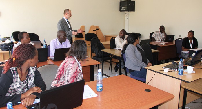
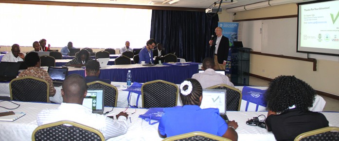
RCMRD/SERVIR E&SA held a three-day training on stream flow forecasting methodologies titled Hydrological Modelling using a Multi-Model Approach from 13-15 March, 2017 in Nairobi, Kenya. The objective of the workshop was to transfer skills required to RCMRD/SERVIR E&SA staff for the implementation of a similar system in Tanzania

Monitoring land cover change over time is essential to understanding ecosystem health, biodiversity, forest carbon cycling, and much more. Land cover/land use (LCLU) data and maps are critical components for climate monitoring applications such as Greenhouse Gas (GHG) emissions reports. LCLU changes, due primarily to deforestation,
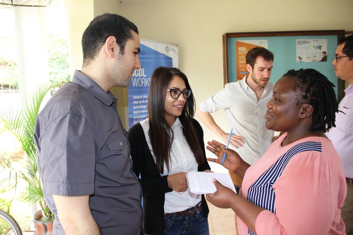
It’s #worldwaterday and RCMRD is excited to be joining participants at the Regional Training Workshop on Geospatial Technologies for Agricultural Statistics & Monitoring at RCMRD.

I am reminded of the Kiswahili proverb which states that “Dalili ya mvua ni mawingu” (the sign that it will rain is signified by the presence of clouds) which explains the role that clouds have in the history of our people. Most communities depended on rain for their agricultural activities and its prediction was crucial. The so called “rain makers” studied the movement of animals such as the migrating birds to predict rain occurrence.
Roysambu, Kasarani
Nairobi, Kenya
+254 020 2680748 / 2680722
+254 723 786161 / +254 735 981098
P.O. Box 632-00618 Nairobi, Kenya
rcmrd@rcmrd.org


