![]()
![]()
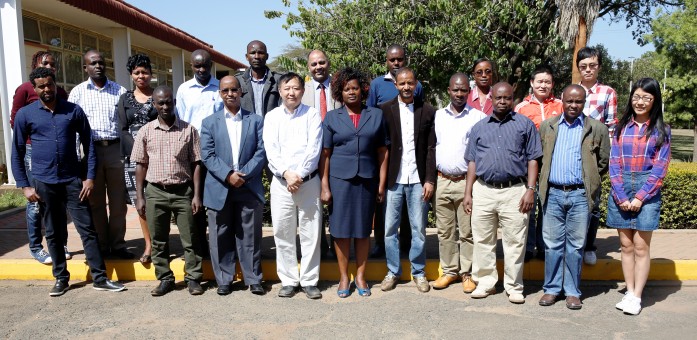
RCMRD hosted a Global Land Cover Mapping Training with emphasize on bamboo mapping in on 13th and 14th of January 2017. The training was organized in collaboration with the International Network for Bamboo and Rattan and Tsinghua University of China.

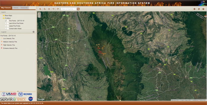
The MODIS Fire Information System at RCMRD integrates remote sensing and GIS technologies to deliver fire hotspot zones/points within Eastern and Southern Africa using MODIS data received via the MODIS receiving station at RCMRD. The moderate resolution imaging spectrometer (MODIS) on board the Terra (EOS Am) and Aqua (EOS pm) captures data in 36 spectral bands, with bands numbers 20 – 25 being thermal bands ingested daily into the fire system.
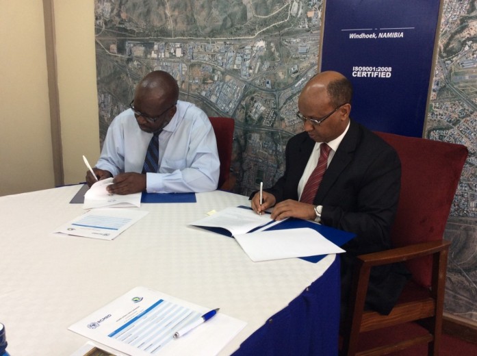
Regional Centre for Mapping of Resources for Development (RCMRD) signed a Memorandum of Understanding with African Advanced Level Training Institute (AFRALTI). The two Institutions firmly convinced of the need to reinforce their relations and cooperation in encouraging the adaptation and use of Earth Observation and ICT Technology
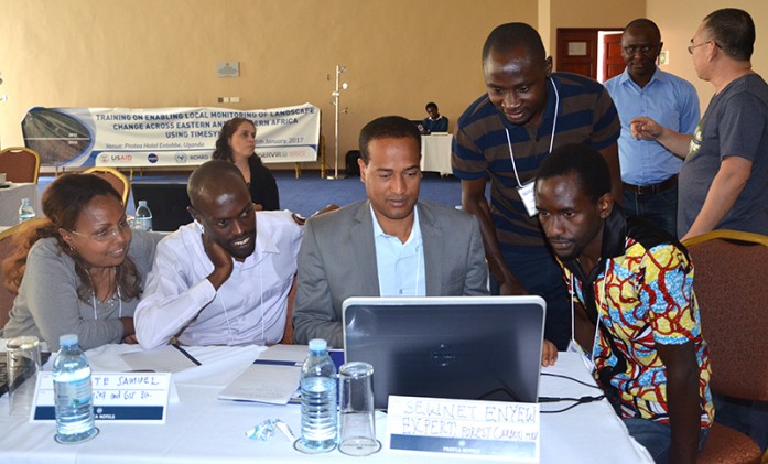
In the year 2016, SERVIR Eastern and Southern Africa (E&SA)/RCMRD (Regional Centre for Mapping of Resources for Development) conducted a needs assessment for Uganda to identify the climate related issues that the country was facing. One of the issues identified during the needs assessment was the need to have a rigorous approach
Roysambu, Kasarani
Nairobi, Kenya
+254 020 2680748 / 2680722
+254 723 786161 / +254 735 981098
P.O. Box 632-00618 Nairobi, Kenya
rcmrd@rcmrd.org


