Roysambu, Kasarani
Call: +254 723 786161 / +254 735 981098 | ISO 9001:2015


Authored by Gladys Mwangi and Martin Murimi
Nairobi, Kenya | 18 September 2026
For many African countries, managing land information remains a challenge as paper-based records, fragmented systems and limited access to reliable data can slow land transactions, complicate planning, increase the risk of errors and make it difficult for institutions to provide efficient services. The challenge is even greater where land is held through customary, communal or informal arrangements that may not be captured in formal records. As countries move towards digital land administration, the priority is not simply to digitise existing records, but to build systems that are connected, secure, inclusive and fit for purpose.
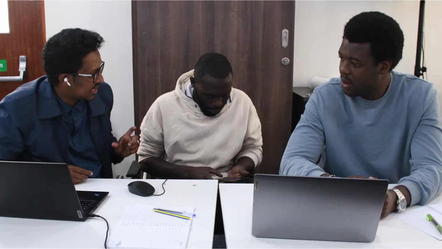
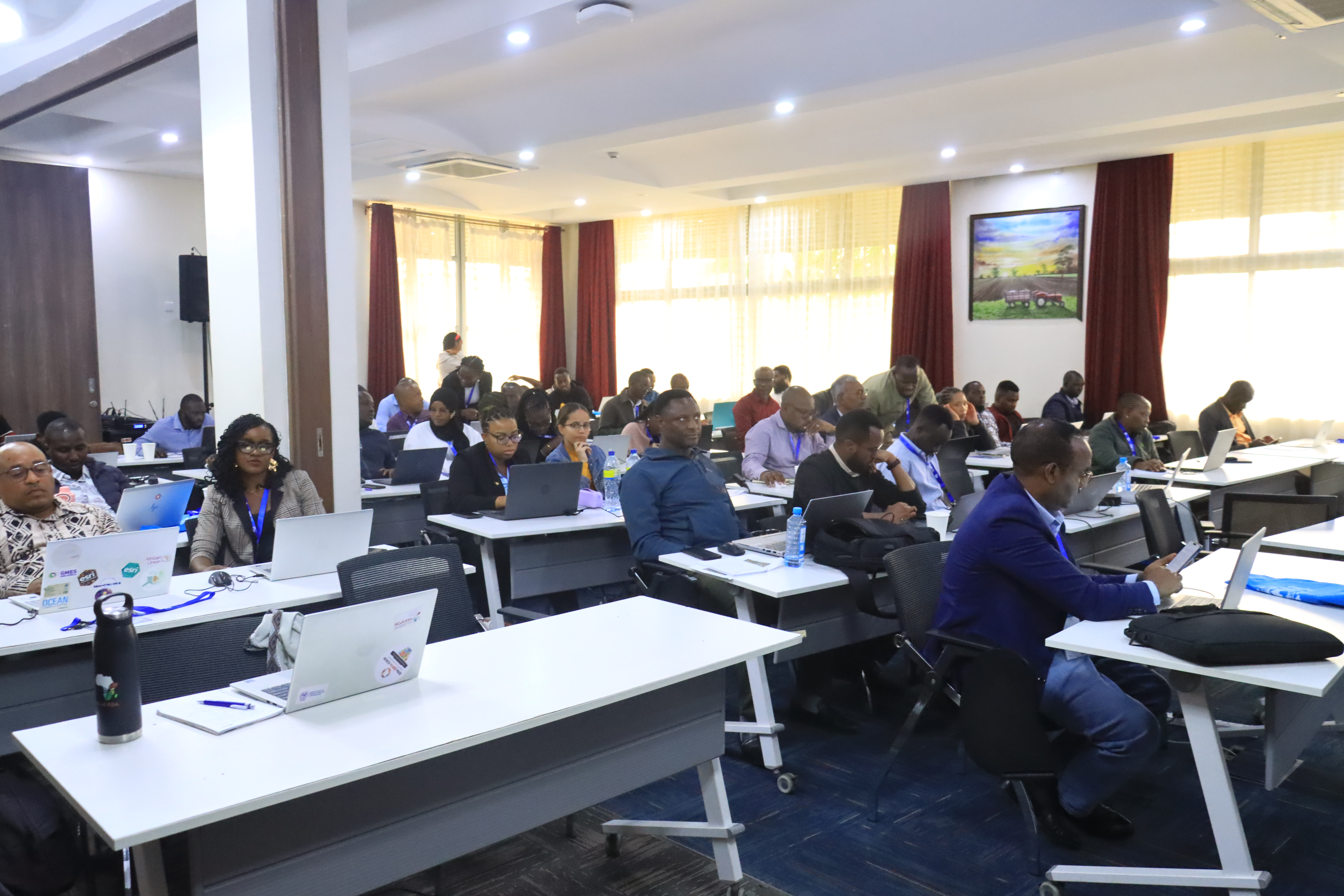
To support this transition, the Regional Centre for Mapping of Resources for Development (RCMRD) successfully completed a five-day Land Information Management Systems (LIMS) training, bringing together 55 government officials from RCMRD’s 20 Member States from 14–18 September 2026 in Nairobi.
The training equipped participants with practical knowledge and skills in digital land records, spatial data, system integration, data security, institutional readiness, change management and citizen-centred service delivery.
Beyond digitising land records
Moving from paper to digital systems can make land information easier to access and manage. But digital transformation also raises important questions: How will different government systems share information? How will sensitive land data be protected? Are institutions ready to manage the transition? And how can digital services remain accessible to citizens, including those whose land rights are based on customary, communal or informal arrangements?
The LIMS training addressed these questions by taking participants beyond the technology itself. Participants explored how land information systems can connect land registration, surveying, mapping, property valuation, planning and other government services, reducing duplication and supporting more integrated decision-making.
They also examined data governance, system security, institutional readiness, risk management and sustainable approaches to financing and maintaining digital land systems
Building capacity for country-level change
For participants, the value of the training extends beyond the classroom.
For the Union of Comoros, the training comes at an important point in the country's land administration transition, following the establishment of the National Directorate of Land and Public Domain.
According to Nair Aboubacar, Head of the Mapping Unit, Comoros, the training is strengthening the Mapping Unit's ability to support this new institutional structure. “This LIMS training at RCMRD equips our Mapping Unit with cutting-edge tools and methodologies to provide direct technical support to this new entity.”
He also highlighted the relevance of the National Spatial Data Infrastructure (NSDI) component to Comoros' ongoing work on national data sharing. “The NSDI module aligns seamlessly with our ongoing national data-sharing framework, enabling us to practically implement best practices in geospatial data governance across national institutions.”
Towards more efficient and transparent land services
For Malawi, the training highlighted the potential of digital land systems to improve the way land-related services are delivered to the public.
Julius Chisi, Surveyor General, Malawi, noted that digital land administration can contribute to greater efficiency and transparency: “It is promoting efficiency and effectiveness in the provision of land-related services to the public and also promotes transparency and reduces corruption.” He also highlighted the value of learning from how different countries are approaching digital land administration: “I have learnt NSDI implementation, challenges and solutions, [as well as] approaches and experiences on how LIMS is being implemented in different countries. This will assist on how to polish up our system.”
The exchange of experiences across countries was an important part of the training, allowing participants to consider different approaches, challenges and solutions that can inform their own national contexts.
From analogue systems to sustainable digital services
A key focus of the final stages of the training was preparing participants to lead institutional transition—not simply procure technology. Participants examined change-management strategies, institutional readiness assessments, analogue-to-digital transition approaches, risk management and long-term sustainability planning. They also considered how to finance LIMS sustainably and design services around the needs of citizens. This focus recognises that successful digital land administration depends on more than software and infrastructure. It requires institutions with the capacity to manage change, reliable and trusted data, appropriate governance frameworks and services designed around the people who use them
Taking the next step
As the training concludes, participants return to their countries with practical knowledge and country-level action plans that can guide their next steps towards digital land administration.
For RCMRD, the training is part of a broader approach to strengthening regional capacity and supporting Member States as they apply geospatial technologies to development challenges. The goal is not simply to put land records on a computer. It is to support countries in building connected, secure, sustainable and citizen-centred land information systems that can improve how land is administered and how land-related decisions are made.

