Roysambu, Kasarani
Call: +254 723 786161 / +254 735 981098 | ISO 9001:2015


Turning Earth Observation into environmental intelligence
Climate change and air pollution are closely connected, with common sources and drivers contributing to risks for human health, ecosystems and sustainable development. Yet many countries continue to face limitations in ground-based monitoring infrastructure and long-term environmental datasets. This makes it difficult to build a complete picture of where pollution is occurring, how it is changing and how it interacts with climate risks. Earth Observation offers an opportunity to help close these gaps.
By combining satellite observations with ground-based measurements, including data from low-cost air-quality sensors, countries can develop more comprehensive environmental information to support monitoring, planning and action. It was this potential that shaped discussions during the Kigali workshop.
RCMRD brings regional experience to the conversation
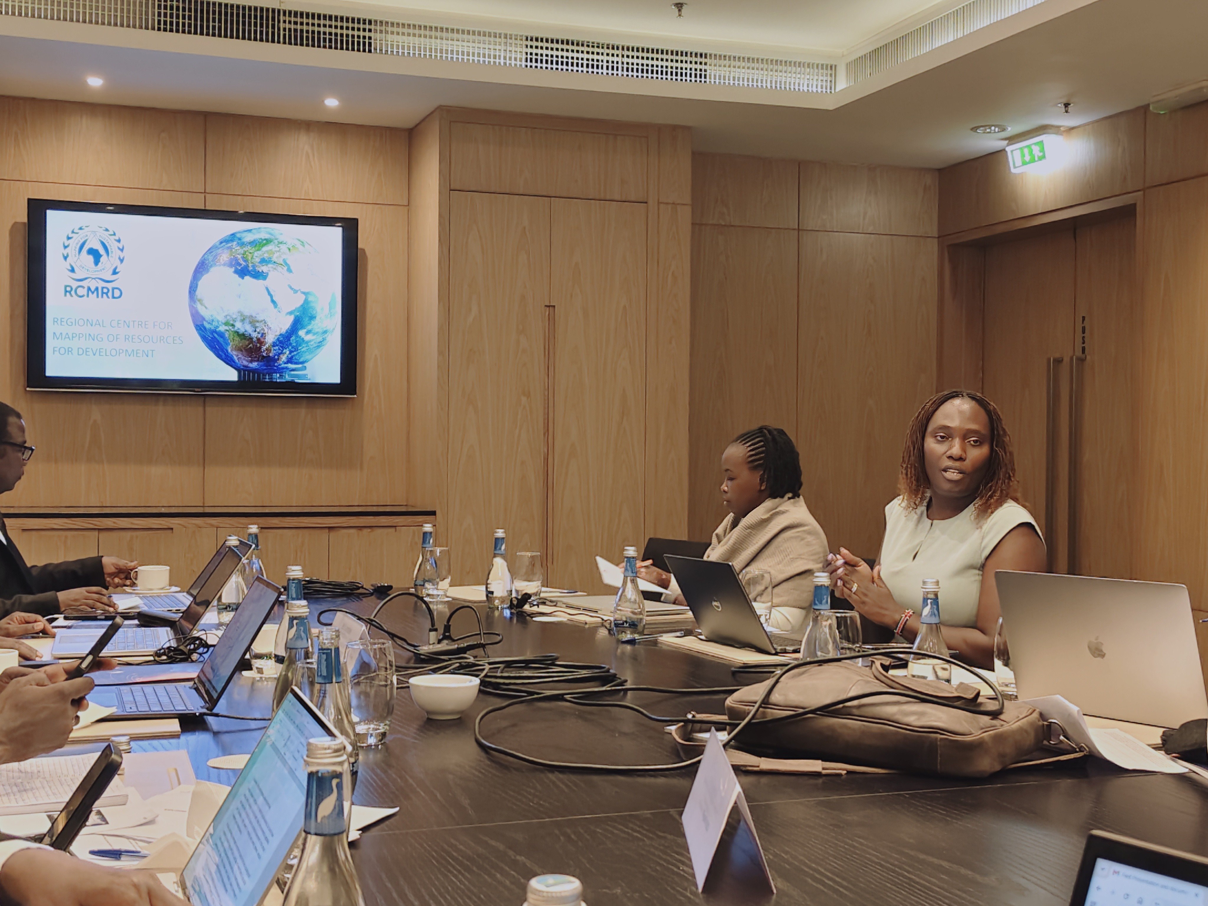
The Regional Centre for Mapping of Resources for Development (RCMRD) shared its experience in applying Earth Observation, geospatial technologies and data systems to environmental and air-quality monitoring. Drawing from work in Kenya and Ethiopia, RCMRD demonstrated how different sources of environmental data can be brought together to create a clearer picture of pollution and its potential sources.
In Kenya, RCMRD highlighted its engagement with the Nairobi Air Quality Working Group under the Clean Air Catalyst Programme. The work brought together multiple stakeholders to examine urban air-pollution sources, explore the use of low-cost sensor data and discuss approaches for strengthening air-quality monitoring.
In Ethiopia, RCMRD's work under the Sustainable Water and Air Quality Monitoring Systems Project involved technical fieldwork, stakeholder engagement and the development of geospatial datasets covering air-quality sensors, pollution hotspots, rivers, boreholes, water infrastructure, land use, dumpsites, urban agriculture and administrative boundaries.
From national capabilities to regional solutions .
A recurring message from the workshop was the importance of interoperability. Countries may have different monitoring systems, datasets and technical capacities, but regional environmental challenges do not stop at national borders. Shared standards, common datasets and mechanisms for exchanging information can therefore help countries work from a stronger evidence base.
For RCMRD, this presents an opportunity to support the EAC region through its technical expertise, regional networks and experience in geospatial infrastructure and capacity development. The workshop also opened discussions on partnerships, resource mobilisation and practical opportunities to translate the East African Regional Space Science and Technology Strategy into programmes and services
From discussion to collaboration
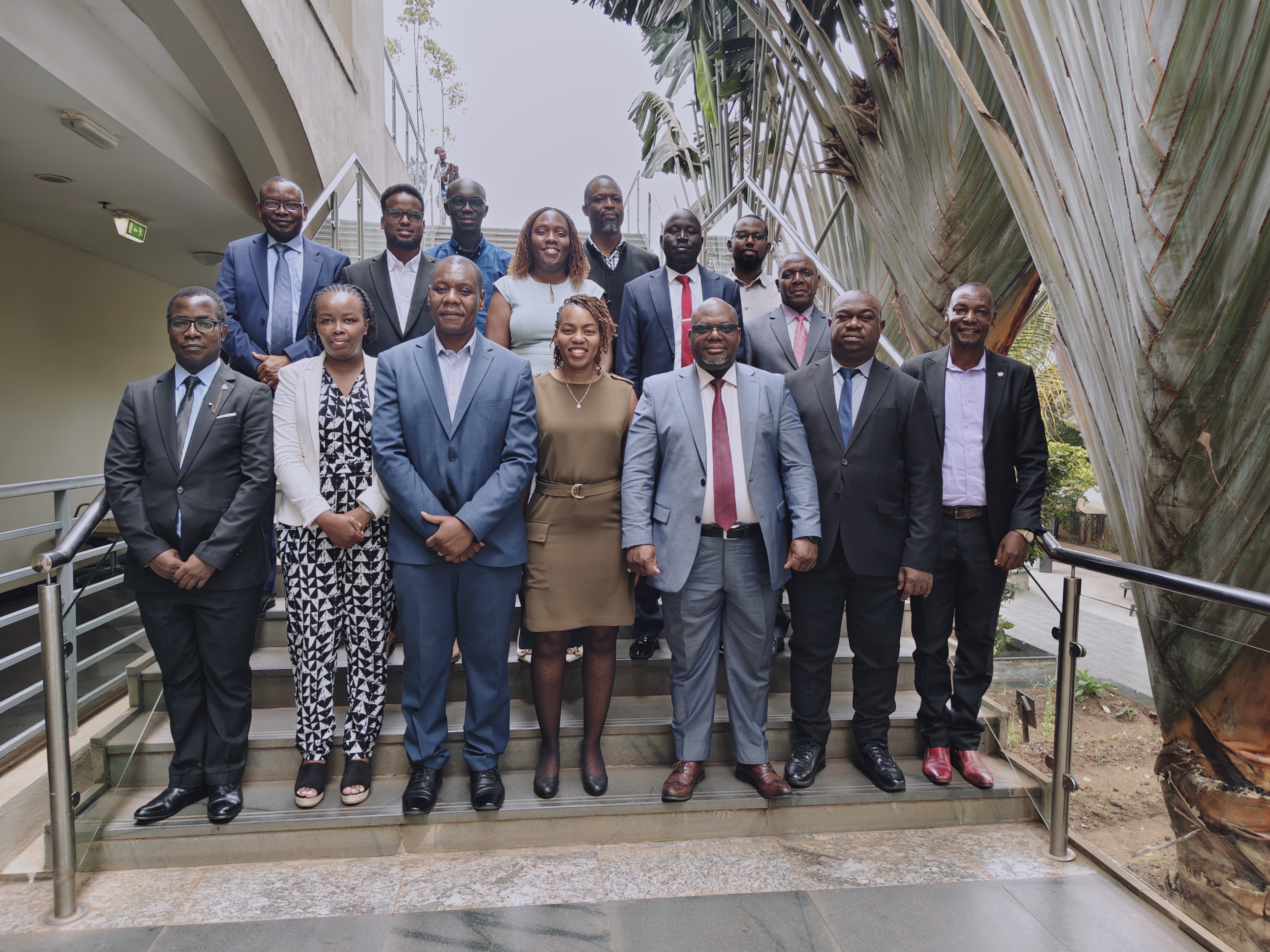
The Kigali meeting was more than an exchange of technical experiences. It created space to identify areas where regional institutions can work together to turn the ambitions of the regional space strategy into practical action. More importantly, the meeting demonstrated that the value of Earth Observation lies not only in the data collected from space, but in how that information is combined with local knowledge, ground observations, technical expertise and strong partnerships.
As Eastern African countries advance their regional space ambitions, building these connections will be essential to developing stronger climate and air-quality monitoring systems-and ultimately, turning environmental data into decisions that protect people, ecosystems and sustainable development.

