Roysambu, Kasarani
Call: +254 723 786161 / +254 735 981098 | ISO 9001:2015


A wildlife corridor can become narrower without anyone noticing it at first. A habitat can gradually change. Human activity can expand into areas that once provided space for wildlife to move and thrive.
For conservation teams working across a complex landscape like the Greater Mara Ecosystem, seeing these changes clearly and understanding their scale is essential. But ground observations alone cannot always provide the detailed, timely spatial information needed to guide conservation decisions.This is where drone mapping can make a difference.
The Mara Elephant Project Trust (MEP) works across the Greater Mara to protect elephants, safeguard critical habitat and wildlife corridors, reduce human-elephant conflict and support conservation efforts with government, communities and other partners. As the pressures on the ecosystem evolve, so does the need for accurate spatial information to understand what is happening across the landscape.
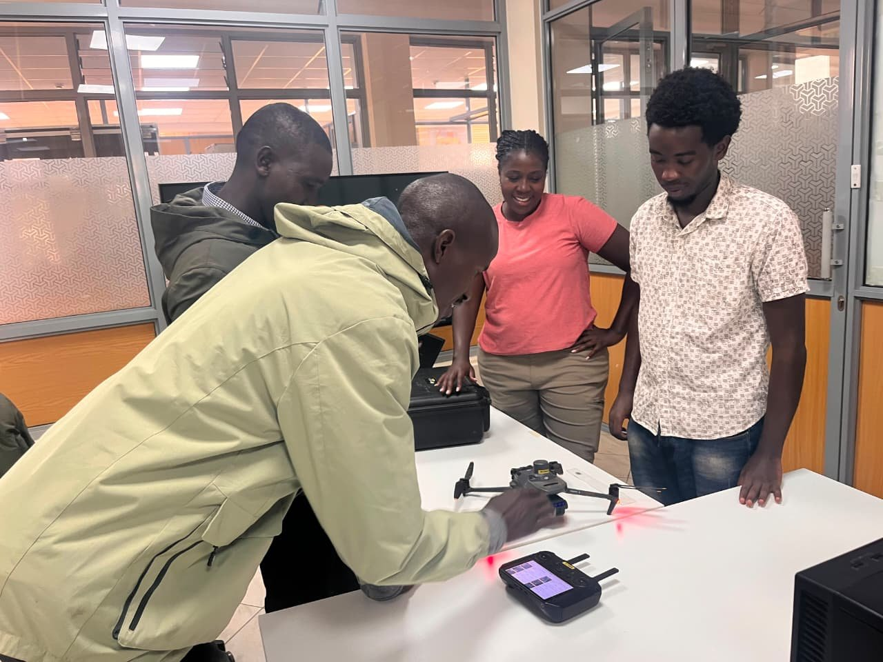
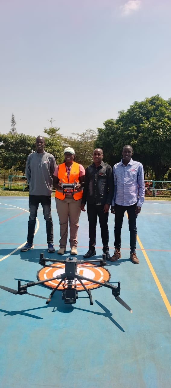
Turning a changing landscape into something conservation teams can measure
Across the Greater Mara, conservation teams need to answer questions that are inherently spatial:
Where are wildlife corridors becoming fragmented?
How is habitat changing?
Where is human activity expanding? What land-use changes are taking place around critical ecosystems?
Where should conservation interventions be prioritised?
Drone-derived data can help provide detailed, local-scale information to complement satellite imagery and other Earth Observation datasets.
This creates an opportunity for MEP to strengthen habitat monitoring, corridor protection, land-use planning and evidence-based conservation decisions. The broader value is that the organisation does not have to depend entirely on external teams to generate this information. The training strengthens its own technical capacity to collect and use data as conservation needs emerge.
From one landscape to a wider conservation mandate
The work with MEP is part of a broader area of RCMRD's work in biodiversity conservation, ecosystem monitoring and environmental management. RCMRD was designated as a Technical and Scientific Cooperation Support Centre under the Convention on Biological Diversity (CBD), supporting countries in Eastern and Southern Africa with biodiversity data, capacity development, technology transfer and science-based approaches to implementing the Kunming-Montreal Global Biodiversity Framework.
The Centre also hosts the Regional Centre of Excellence (RCoE) for Biodiversity, Forests and Seascape Ecosystems Management, a 2024–2028 initiative implemented with CIFOR-ICRAF and funded by the European Union.
Through the RCoE, RCMRD works across 24 countries in Eastern and Southern Africa to strengthen the use of science, technology and innovation in managing biodiversity, forests and seascape ecosystems.
The Centre's role is therefore to help bridge the gap between technology and conservation practice-ensuring that Earth Observation, geospatial data and emerging technologies are not simply available, but can be applied by institutions to address the environmental challenges they face.
A model for conservation in a changing climate
Rather than waiting for environmental pressures to become difficult to reverse, conservation teams can use spatial information to understand change, identify emerging pressures and strengthen planning. And as African countries work to deliver on global biodiversity commitments, including the Kunming-Montreal Global Biodiversity Framework, the ability to generate reliable, locally relevant biodiversity information will become increasingly important. For the Greater Mara, this means giving conservation practitioners another way to understand the ecosystem they are working to protect.
For RCMRD, it reinforces a wider commitment: building African capacity to use Earth Observation and geospatial technologies to turn environmental data into evidence, and evidence into action

