Roysambu, Kasarani
Call: +254 723 786161 / +254 735 981098 | ISO 9001:2015


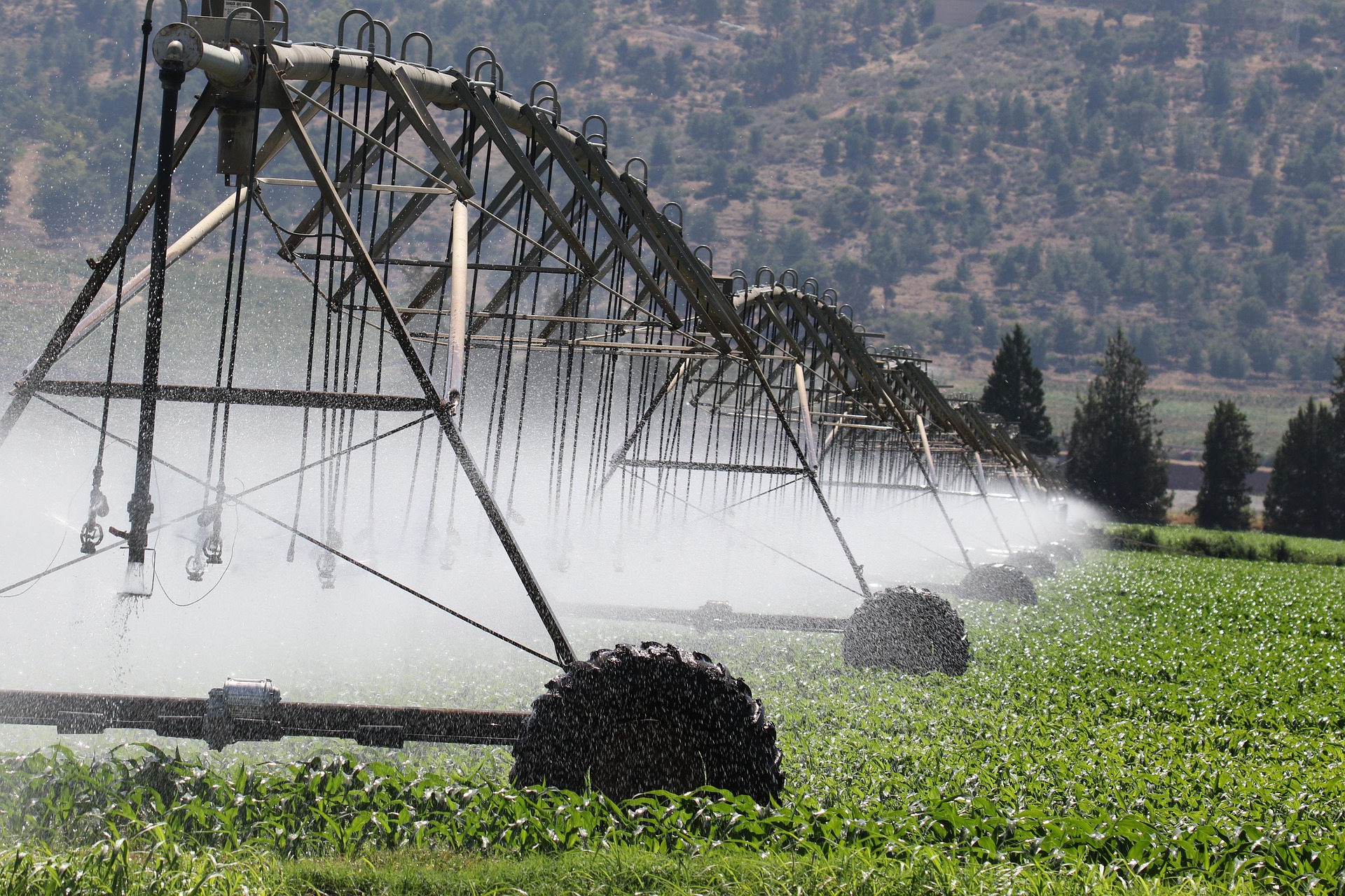
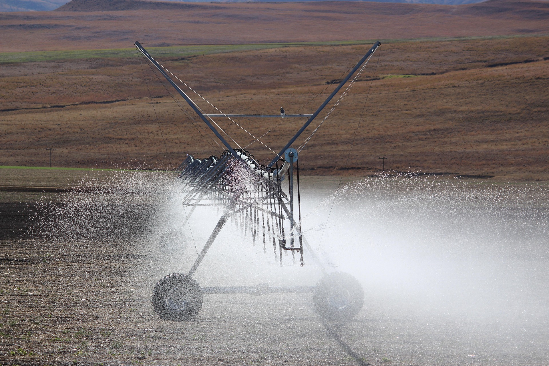
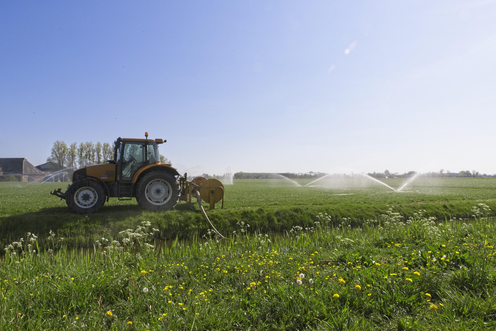
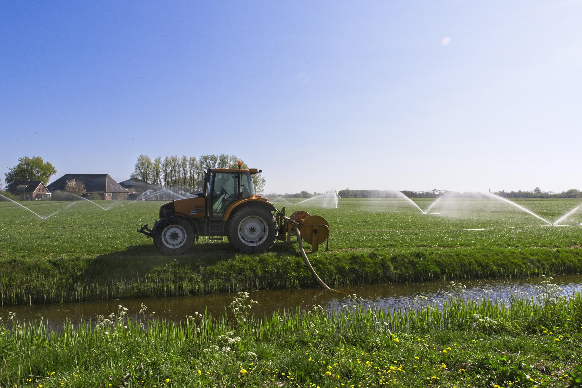
The IrrEO Project is an initiative designed to transform how irrigation is monitored and managed in Kenya. By combining cutting-edge Earth Observation (EO) technology with extensive ground truth data, the project aims to create high-resolution national irrigation maps. These tools will provide critical insights into agricultural water use, helping to optimize investments, improve food security, and support sustainable water management across diverse agro-ecological zones.
IrrEO - Earth Observation for Irrigation Mapping.
Gates Foundation
The University of Manchester
The Regional Centre for Mapping of Resources for Development (RCMRD)
Kenya