![]()
![]()

The minister of Mining, Republic of Kenya, Hon. Dan Kazungu held discussions with the Director General, RCMRD, Dr. Hussein Farah at his office on the ministry’s cooperation with RCMRD on mapping of natural resources in Kenya. Hon. Kazungu emphasized the importance of training of staff in his ministry in the use of Earth Observation and GIS analysis. The minister said that Kenya was currently undertaking an ambitious programme of mapping natural resources of the entire country in order to prepare long term policies and strategies on natural resources management. To achieve this ambitious programme, the minister requested RCMRD to work with the ministry’s departments in coming up with tailored capacity building programmes. He further requested RCMRD to provide technical advice on the standards and specifications and best practice in the mapping programme. Present during the meeting were the Director, Department of Resource Surveys and Remote Sensing (DRSRS), Dr. Wargute and Director Technical Services department at RCMRD Prof. John Kiema.

Hon. Kazungu and Dr. Farah after the meeting.

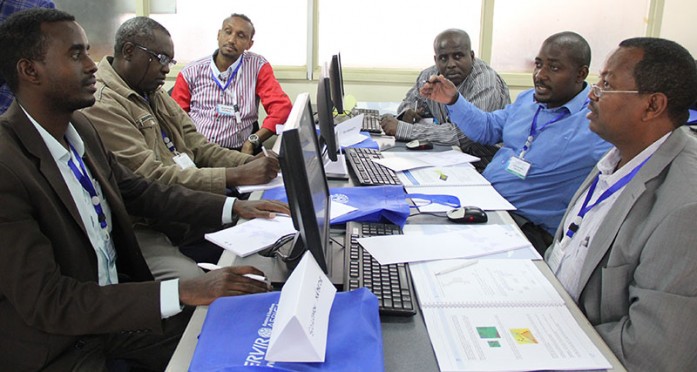
Effective disaster management and response demand quick utilization of information and data from many sources. Geographic Information System (GIS) is a very useful tool for the whole disaster management cycle starting from the preparedness and mitigation to response, recovery and reconstruction. In the immediate aftermath of a disaster, satellite-based rapid response analysis has enabled emergency response agencies to respond in a better and more coordinated way.
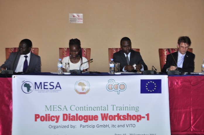
The first Monitoring for Environment and Security in Africa (MESA) Policy Dialogue Workshop is taking place in Kigali, Rwanda from 19- 20th September, 2016 following European Organisation for the Exploitation of Meteorological Satellites (EUMETSAT) user forum. The objectives of the workshop include reaching out to senior policy and
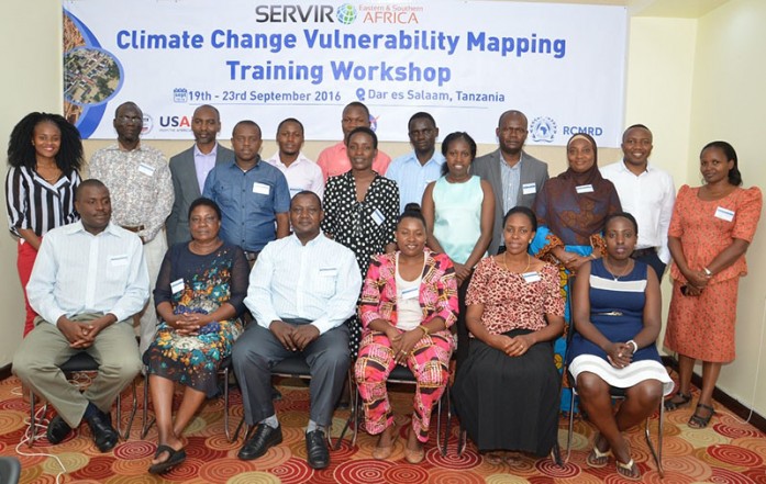
The SERVIR Vulnerability Impacts and Assessments (VIA) team at RCMRD is in Dar es Salaam, Tanzania training national technical experts on technologies being applied in East Africa to assess climate change vulnerability for key development sectors.
Roysambu, Kasarani
Nairobi, Kenya
+254 020 2680748 / 2680722
+254 723 786161 / +254 735 981098
P.O. Box 632-00618 Nairobi, Kenya
rcmrd@rcmrd.org


