![]()
![]()
According to Intergovernmental Panel on Climate Change (IPCC) and United Nations Development Programme (UNDP) 2007 reports, climate change is considered as the biggest environmental threat in human history and the defining human challenge for the twenty first century. Each and every continent is feeling the effects of climate change,

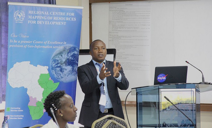
Current advances in space and Geo-ICT technologies offer great opportunities to the entire geo-information community. Some examples of these include use of global datasets that provide us with the opportunity to build and share fundamental datasets at cheaper rates; cloud computing useful especially for the storage of high volume
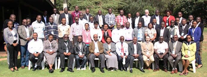
RCMRD/SERVIR-Eastern and Southern Africa is holding a two-day consultations workshop starting 2– 3rd August, 2016 in Naivasha, Kenya. The workshop is being attended by participants from thirty six institutions from different parts of Kenya. The aim of the workshop is to assess the needs and gaps in using geospatial tools by

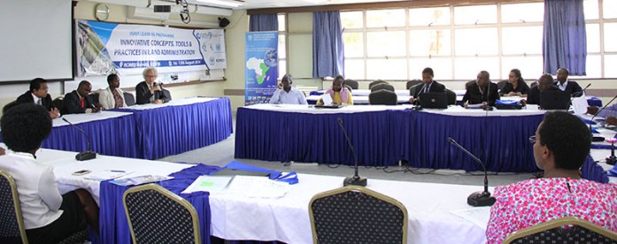
The Food and Agriculture Organization of the United Nations (FAO) in collaboration with the Regional Centre for Mapping of Resources for Development (RCMRD) are conducting a three-week Forest Assessment Training and Validation Workshop from 9- 26th August, 2016 in Nairobi, Kenya. The training workshop is focusing on Land Use,
Roysambu, Kasarani
Nairobi, Kenya
+254 020 2680748 / 2680722
+254 723 786161 / +254 735 981098
P.O. Box 632-00618 Nairobi, Kenya
rcmrd@rcmrd.org


