![]()
![]()
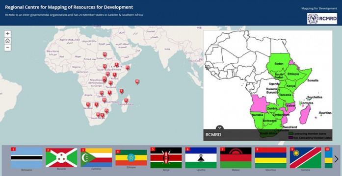
RCMRD has published a story map showing all its member States located in the Eastern and Southern Africa Region. The countries are displayed alphabetically and show a unique feature/ landmark/ site that is associated with each country. Currently, RCMRD has 20 contracting member States in the Eastern and Southern Africa Region including

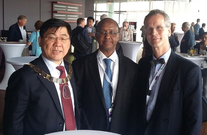
The International Society of Photogrammetry and Remote Sensing (ISPRS) is the leading organization in remote sensing, photogrammetry and spatial information sciences in the world. Every 4 years, the congress attracts over 2,000 participants from all over the world. This gathering strengthens relations among researchers, professionals and
Today, the analysis and use of satellite images is common. However, 15 years ago, only a handful of specialists worked with these valuable data. Since then, a particular niche expertise has rapidly developed – the use of satellite data for disaster management. In this regard, Denis Macharia, an environmental and geospatial scientist working

Japan Aerospace Exploration Agency (JAXA) satellite Navigation Unit in collaboration with RCMRD has established a Continuously Operating Reference Operating Station (CORS) at Dedan Kimathi University (DKUT) Nyeri, Kenya for Multi-GNSS Monitoring Network (MGMNet). JAXA donated several Global Navigation Satellite System (GNSS) Antennas for the project. The CORS is tracking a number of satellite signals. RCMRD is also contributing to GNSS data stream of RCMN CORS MGMNet. RCMN is a CORS housed in the RCMRD compound in Nairobi, Kenya. Read full article in AFREF Newsletter No.18 See also AFREF
Roysambu, Kasarani
Nairobi, Kenya
+254 020 2680748 / 2680722
+254 723 786161 / +254 735 981098
P.O. Box 632-00618 Nairobi, Kenya
rcmrd@rcmrd.org


