![]()
![]()
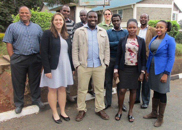
The NASA Short-term Prediction Research and Transition (SPoRT) Center, through SERVIR, has been collaborating with regional forecasters to help improve weather forecast accuracy in East Africa. In this regard, RCMRD/SERVIR-Eastern and Southern Africa team attended a four-day training workshop on improving weather prediction in

Establishment and applications of Continuously Operating Reference Stations (CORS) and Real Time Global Navigation Satellite Systems (GNSS) Geodetic Networks (RTGNs) have greatly increased in the last few years. However, in Africa there are a few CORS and RTGNs that may enhance the application and use of GNSS data.
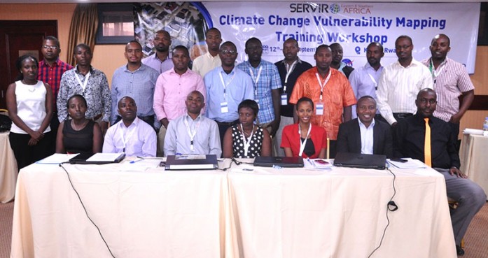
The SERVIR Vulnerability Impacts and Assessments (VIA) team at RCMRD has been in Kigali, Rwanda from 13th September, 2016 training national technical experts on technologies being applied in East Africa to assess climate change vulnerability for key development sectors. The training builds from the Planning for Resilience in East

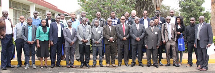
Geomatics Indaba 2016 opened in Johannesburg, South Africa on Monday 12th September, 2016. The conference themed “Geomatics skills and technologies: Growing professionals to secure our future” attracted 750 participants from surveying, GIS, remote sensing, geo-informatics, mapping, and location-based business. Dr. Hussein
Roysambu, Kasarani
Nairobi, Kenya
+254 020 2680748 / 2680722
+254 723 786161 / +254 735 981098
P.O. Box 632-00618 Nairobi, Kenya
rcmrd@rcmrd.org


